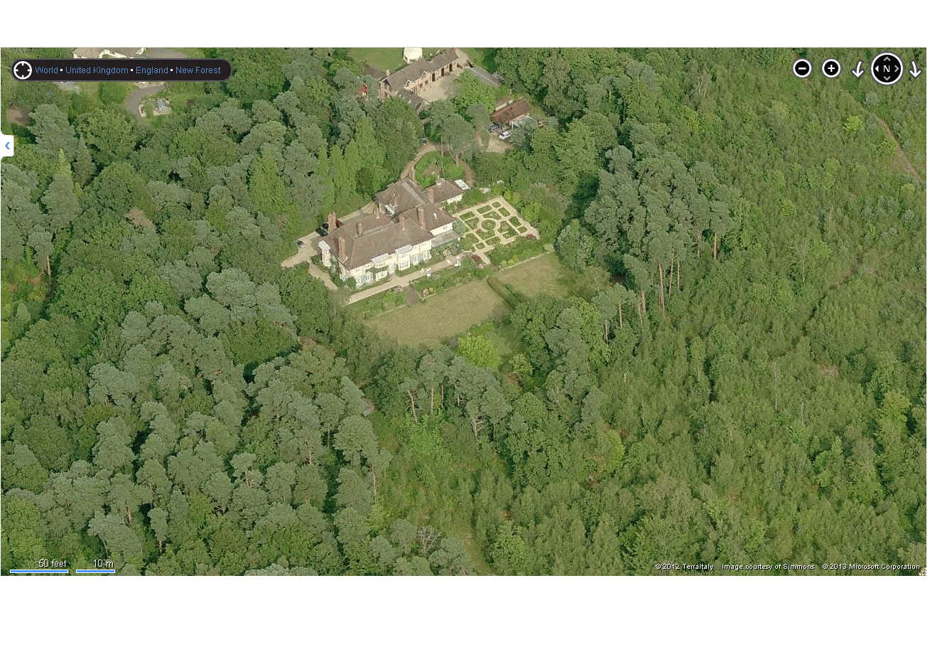
EPW037376 ENGLAND (1932). Bransgore House, Bransgore, 1932. This image has been affected by flare.
© Copyright OpenStreetMap contributors and licensed by the OpenStreetMap Foundation. 2026. Cartography is licensed as CC BY-SA.
Nearby Images (9)
Details
| Title | [EPW037376] Bransgore House, Bransgore, 1932. This image has been affected by flare. |
| Reference | EPW037376 |
| Date | 12-April-1932 |
| Link | |
| Place name | BRANSGORE |
| Parish | BRANSGORE |
| District | |
| Country | ENGLAND |
| Easting / Northing | 419267, 98165 |
| Longitude / Latitude | -1.7266736808798, 50.782172933735 |
| National Grid Reference | SZ193982 |
Pins
Be the first to add a comment to this image!
User Comment Contributions
Thanks for the help with this image and the others in the group of the site. I shall post the same message to all of them (just to be clear that we have picked up on the information). We'll update the catalogue record, and post the updated details here in due course. Yours, Katy Britain from Above Cataloguing Team Leader |
Katy Whitaker |
Friday 8th of March 2013 03:12:12 PM |

Another view of Bransgore House |

RichardW |
Monday 28th of January 2013 11:53:31 AM |
Hi Richard Many thanks for this spot and for the modern photograph as evidence. I have passed your find onto our Cataloguing team who will look into this and update the website as appropriate. We hope you enjoy our website and will continue to use it. Kind regards Liz |
Liz Fife-Faulkner |
Monday 28th of January 2013 11:53:31 AM |
see also EPW037368,9,70,71,2,3,4,5 & 6. |

BigglesH |
Sunday 16th of December 2012 04:40:44 PM |


![[EPW037376] Bransgore House, Bransgore, 1932. This image has been affected by flare.](http://britainfromabove.org.uk/sites/all/libraries/aerofilms-images/public/100x100/EPW/037/EPW037376.jpg)
![[EPW037370] Bransgore House, Bransgore, 1932](http://britainfromabove.org.uk/sites/all/libraries/aerofilms-images/public/100x100/EPW/037/EPW037370.jpg)
![[EPW037368] Bransgore House, Bransgore, 1932](http://britainfromabove.org.uk/sites/all/libraries/aerofilms-images/public/100x100/EPW/037/EPW037368.jpg)
![[EPW037373] Bransgore House, Bransgore, 1932](http://britainfromabove.org.uk/sites/all/libraries/aerofilms-images/public/100x100/EPW/037/EPW037373.jpg)
![[EPW037369] Bransgore House, Bransgore, 1932](http://britainfromabove.org.uk/sites/all/libraries/aerofilms-images/public/100x100/EPW/037/EPW037369.jpg)
![[EPW037375] Bransgore House, Bransgore, 1932. This image has been affected by flare.](http://britainfromabove.org.uk/sites/all/libraries/aerofilms-images/public/100x100/EPW/037/EPW037375.jpg)
![[EPW037374] Bransgore House, Bransgore, 1932](http://britainfromabove.org.uk/sites/all/libraries/aerofilms-images/public/100x100/EPW/037/EPW037374.jpg)
![[EPW037372] Bransgore House, Bransgore, 1932](http://britainfromabove.org.uk/sites/all/libraries/aerofilms-images/public/100x100/EPW/037/EPW037372.jpg)
![[EPW037367] Bransgore House, Bransgore, from the south-west, 1932. This image has been produced from a damaged negative.](http://britainfromabove.org.uk/sites/all/libraries/aerofilms-images/public/100x100/EPW/037/EPW037367.jpg)