
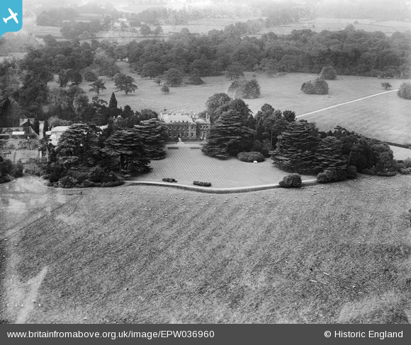
EPW036960 ENGLAND (1931). Upper Gatton Park, Gatton, 1931
© Copyright OpenStreetMap contributors and licensed by the OpenStreetMap Foundation. 2026. Cartography is licensed as CC BY-SA.
Nearby Images (2)
EPW036960

EPW036961

Details
| Title | [EPW036960] Upper Gatton Park, Gatton, 1931 |
| Reference | EPW036960 |
| Date | October-1931 |
| Link | |
| Place name | GATTON |
| Parish | |
| District | |
| Country | ENGLAND |
| Easting / Northing | 526993, 153948 |
| Longitude / Latitude | -0.17937242387778, 51.270005514844 |
| National Grid Reference | TQ270539 |
Pins
Be the first to add a comment to this image!