
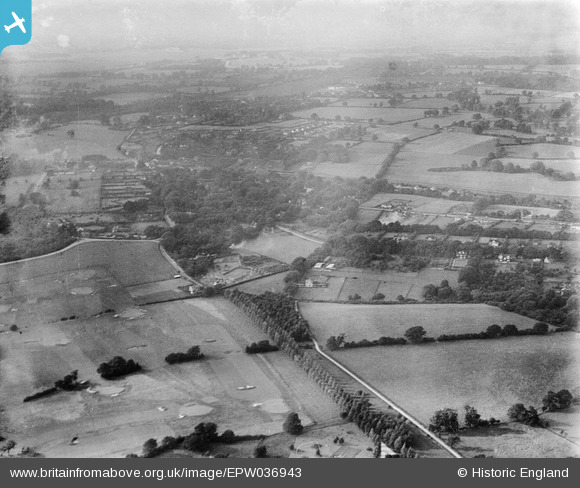
EPW036943 ENGLAND (1931). Kingswood Golf Course and environs, Kingswood, from the south-east, 1931
© Copyright OpenStreetMap contributors and licensed by the OpenStreetMap Foundation. 2026. Cartography is licensed as CC BY-SA.
Nearby Images (2)
EPW036943

EPW036926

Details
| Title | [EPW036943] Kingswood Golf Course and environs, Kingswood, from the south-east, 1931 |
| Reference | EPW036943 |
| Date | October-1931 |
| Link | |
| Place name | KINGSWOOD |
| Parish | |
| District | |
| Country | ENGLAND |
| Easting / Northing | 525935, 156047 |
| Longitude / Latitude | -0.19379227633452, 51.289106942387 |
| National Grid Reference | TQ259560 |
Pins

Mike |
Friday 5th of June 2026 04:18:30 PM | |
|
christhewino |
Friday 13th of October 2023 05:57:00 PM | |
|
christhewino |
Friday 13th of October 2023 05:56:23 PM | |
|
christhewino |
Friday 13th of October 2023 05:56:03 PM |