
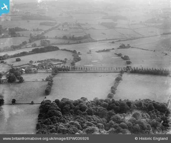
EPW036926 ENGLAND (1931). Eyhurst and Kingswood Golf Course, Kingswood, 1931
© Copyright OpenStreetMap contributors and licensed by the OpenStreetMap Foundation. 2026. Cartography is licensed as CC BY-SA.
Nearby Images (2)
EPW036926

EPW036943

Details
| Title | [EPW036926] Eyhurst and Kingswood Golf Course, Kingswood, 1931 |
| Reference | EPW036926 |
| Date | October-1931 |
| Link | |
| Place name | KINGSWOOD |
| Parish | |
| District | |
| Country | ENGLAND |
| Easting / Northing | 526069, 156070 |
| Longitude / Latitude | -0.19186330227876, 51.289284021095 |
| National Grid Reference | TQ261561 |
Pins
Be the first to add a comment to this image!