
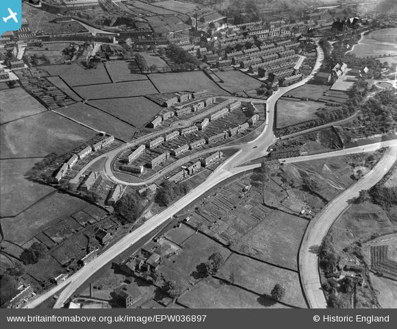
EPW036897 ENGLAND (1931). Bracewell Drive, Halifax, 1931
© Copyright OpenStreetMap contributors and licensed by the OpenStreetMap Foundation. 2025. Cartography is licensed as CC BY-SA.
Nearby Images (3)
EPW036897

EPW036896

EPW036895

Details
| Title | [EPW036897] Bracewell Drive, Halifax, 1931 |
| Reference | EPW036897 |
| Date | September-1931 |
| Link | |
| Place name | HALIFAX |
| Parish | |
| District | |
| Country | ENGLAND |
| Easting / Northing | 407935, 426472 |
| Longitude / Latitude | -1.8796994164256, 53.734356021993 |
| National Grid Reference | SE079265 |
Pins

Tonemart |
Sunday 15th of December 2013 01:22:46 AM | |
|
Tonemart |
Sunday 15th of December 2013 01:21:07 AM | |
|
David |
Monday 21st of January 2013 02:06:13 PM | |
|
David |
Monday 21st of January 2013 02:04:37 PM | |
|
David |
Monday 21st of January 2013 02:02:08 PM | |
|
David |
Monday 21st of January 2013 02:01:33 PM |