
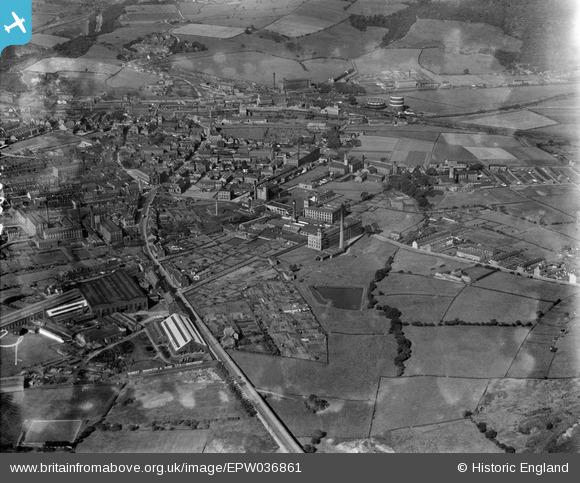
EPW036861 ENGLAND (1931). Banks Bottom and the town, Elland, 1931
© Copyright OpenStreetMap contributors and licensed by the OpenStreetMap Foundation. 2025. Cartography is licensed as CC BY-SA.
Nearby Images (3)
EPW036861

EPW036862

EPW016799

Details
| Title | [EPW036861] Banks Bottom and the town, Elland, 1931 |
| Reference | EPW036861 |
| Date | September-1931 |
| Link | |
| Place name | ELLAND |
| Parish | |
| District | |
| Country | ENGLAND |
| Easting / Northing | 411272, 420820 |
| Longitude / Latitude | -1.8293139425328, 53.68348812967 |
| National Grid Reference | SE113208 |
Pins
Be the first to add a comment to this image!