
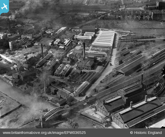
EPW036525 ENGLAND (1931). Sculcoates Goods Station, Hull Swing Bridge and environs, Sculcoates, 1931
© Copyright OpenStreetMap contributors and licensed by the OpenStreetMap Foundation. 2026. Cartography is licensed as CC BY-SA.
Nearby Images (15)
EPW036525

EPW036510

EPW042074

EPW042072

EPW036532

EPW042078

EPW042075

EPW042077

EPW042073

EPW036522

EPW042076

EPW036508

EPW010837

EPW010838

EPW034655

Details
| Title | [EPW036525] Sculcoates Goods Station, Hull Swing Bridge and environs, Sculcoates, 1931 |
| Reference | EPW036525 |
| Date | August-1931 |
| Link | |
| Place name | SCULCOATES |
| Parish | |
| District | |
| Country | ENGLAND |
| Easting / Northing | 509774, 430882 |
| Longitude / Latitude | -0.33456109176749, 53.76248950278 |
| National Grid Reference | TA098309 |
Pins
Be the first to add a comment to this image!