
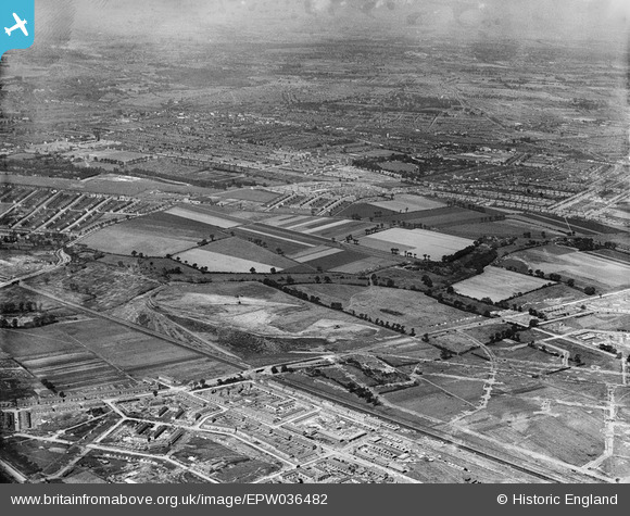
EPW036482 ENGLAND (1931). The site of Mayesbrook Park and the Leftley Estate, Barking, from the south-east, 1931
© Copyright OpenStreetMap contributors and licensed by the OpenStreetMap Foundation. 2025. Cartography is licensed as CC BY-SA.
Nearby Images (2)
EPW036482

EPW036479

Details
| Title | [EPW036482] The site of Mayesbrook Park and the Leftley Estate, Barking, from the south-east, 1931 |
| Reference | EPW036482 |
| Date | August-1931 |
| Link | |
| Place name | BARKING |
| Parish | |
| District | |
| Country | ENGLAND |
| Easting / Northing | 546428, 184521 |
| Longitude / Latitude | 0.11168973491322, 51.540089534609 |
| National Grid Reference | TQ464845 |
Pins

Curtis |
Friday 15th of April 2016 04:49:04 PM | |
|
Curtis |
Friday 15th of April 2016 04:48:30 PM | |
|
Chelsea61 |
Wednesday 3rd of July 2013 11:32:07 PM | |
|
Chelsea61 |
Wednesday 3rd of July 2013 11:31:43 PM | |
|
Chelsea61 |
Wednesday 3rd of July 2013 11:31:25 PM | |
|
Chelsea61 |
Wednesday 3rd of July 2013 11:31:08 PM |