
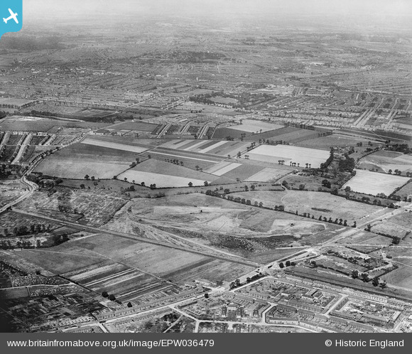
EPW036479 ENGLAND (1931). The site of Mayesbrook Park and the Leftley Estate, Barking, 1931
© Copyright OpenStreetMap contributors and licensed by the OpenStreetMap Foundation. 2025. Cartography is licensed as CC BY-SA.
Nearby Images (2)
EPW036479

EPW036482

Details
| Title | [EPW036479] The site of Mayesbrook Park and the Leftley Estate, Barking, 1931 |
| Reference | EPW036479 |
| Date | August-1931 |
| Link | |
| Place name | BARKING |
| Parish | |
| District | |
| Country | ENGLAND |
| Easting / Northing | 546328, 184413 |
| Longitude / Latitude | 0.11020374754461, 51.539144947023 |
| National Grid Reference | TQ463844 |
