
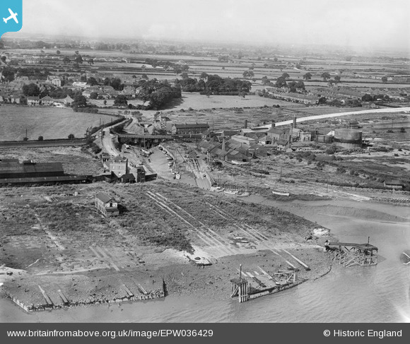
EPW036429 ENGLAND (1931). The Hessle Haven, Waterside Bridge and the Haven Shipbuilding Yard, Hessle, from the south, 1931
© Copyright OpenStreetMap contributors and licensed by the OpenStreetMap Foundation. 2026. Cartography is licensed as CC BY-SA.
Nearby Images (3)
EPW036429

EPW036542

EPW036425

Details
| Title | [EPW036429] The Hessle Haven, Waterside Bridge and the Haven Shipbuilding Yard, Hessle, from the south, 1931 |
| Reference | EPW036429 |
| Date | August-1931 |
| Link | |
| Place name | HESSLE |
| Parish | HESSLE |
| District | |
| Country | ENGLAND |
| Easting / Northing | 503419, 425583 |
| Longitude / Latitude | -0.43270811243021, 53.716174510257 |
| National Grid Reference | TA034256 |
Pins

SPRINGHEAD |
Friday 9th of August 2019 12:46:10 AM | |
|
John Wass |
Wednesday 24th of September 2014 03:25:16 PM | |
|
John Wass |
Wednesday 2nd of July 2014 04:16:09 PM | |
|
Muddy Mark |
Thursday 15th of May 2014 10:58:45 PM | |
|
Muddy Mark |
Monday 12th of May 2014 11:01:23 PM | |
|
Muddy Mark |
Monday 12th of May 2014 10:56:16 PM |


