
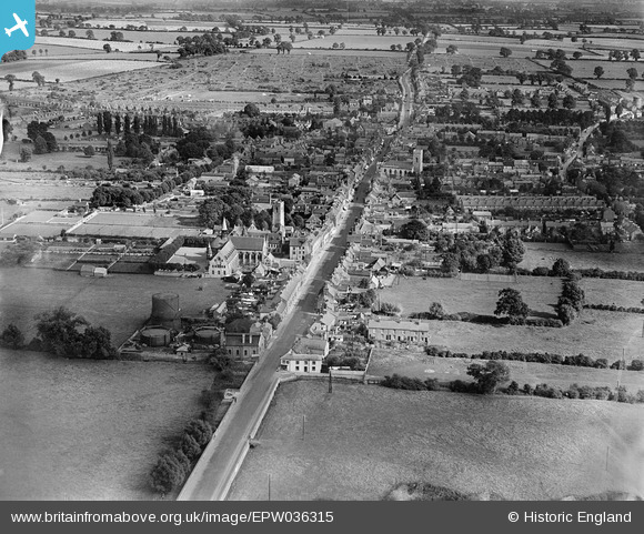
EPW036315 ENGLAND (1931). The High Street, Stony Stratford, 1931
© Copyright OpenStreetMap contributors and licensed by the OpenStreetMap Foundation. 2026. Cartography is licensed as CC BY-SA.
Nearby Images (6)
EPW036315

EPW036316

EPW022447

EPW036313

EPW022449

EPW022450

Details
| Title | [EPW036315] The High Street, Stony Stratford, 1931 |
| Reference | EPW036315 |
| Date | August-1931 |
| Link | |
| Place name | STONY STRATFORD |
| Parish | STONY STRATFORD |
| District | |
| Country | ENGLAND |
| Easting / Northing | 478520, 240650 |
| Longitude / Latitude | -0.85462084880235, 52.058241777821 |
| National Grid Reference | SP785407 |

