
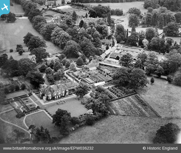
EPW036232 ENGLAND (1931). The Courts and Woolhampton Farm, Woolhampton, 1931
© Copyright OpenStreetMap contributors and licensed by the OpenStreetMap Foundation. 2025. Cartography is licensed as CC BY-SA.
Nearby Images (2)
EPW036232

EPW036230

Details
| Title | [EPW036232] The Courts and Woolhampton Farm, Woolhampton, 1931 |
| Reference | EPW036232 |
| Date | August-1931 |
| Link | |
| Place name | WOOLHAMPTON |
| Parish | WOOLHAMPTON |
| District | |
| Country | ENGLAND |
| Easting / Northing | 457531, 167340 |
| Longitude / Latitude | -1.1728679149691, 51.40167449413 |
| National Grid Reference | SU575673 |
Pins
Be the first to add a comment to this image!