
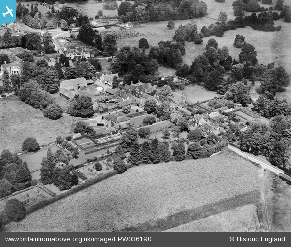
EPW036190 ENGLAND (1931). The High Street and environs, Hurley, 1931
© Copyright OpenStreetMap contributors and licensed by the OpenStreetMap Foundation. 2025. Cartography is licensed as CC BY-SA.
Nearby Images (2)
EPW036190

EPW036187

Details
| Title | [EPW036190] The High Street and environs, Hurley, 1931 |
| Reference | EPW036190 |
| Date | August-1931 |
| Link | |
| Place name | HURLEY |
| Parish | HURLEY |
| District | |
| Country | ENGLAND |
| Easting / Northing | 482614, 183623 |
| Longitude / Latitude | -0.80850845700778, 51.544969251439 |
| National Grid Reference | SU826836 |
Pins
Be the first to add a comment to this image!