
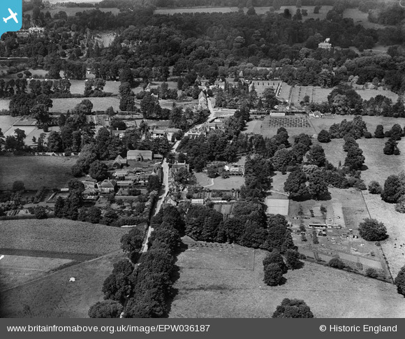
EPW036187 ENGLAND (1931). The village, Hurley, 1931
© Copyright OpenStreetMap contributors and licensed by the OpenStreetMap Foundation. 2025. Cartography is licensed as CC BY-SA.
Nearby Images (2)
EPW036187

EPW036190

Details
| Title | [EPW036187] The village, Hurley, 1931 |
| Reference | EPW036187 |
| Date | August-1931 |
| Link | |
| Place name | HURLEY |
| Parish | HURLEY |
| District | |
| Country | ENGLAND |
| Easting / Northing | 482652, 183735 |
| Longitude / Latitude | -0.80793421812657, 51.545970620603 |
| National Grid Reference | SU827837 |
Pins
Be the first to add a comment to this image!