
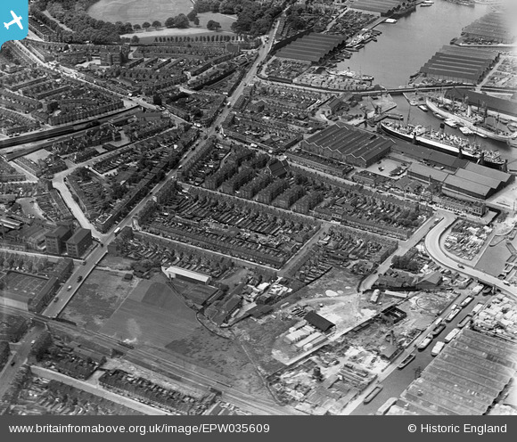
EPW035609 ENGLAND (1931). Lower Road and Sutton Dwellings at Chilton Grove, Rotherhithe, 1931
© Copyright OpenStreetMap contributors and licensed by the OpenStreetMap Foundation. 2026. Cartography is licensed as CC BY-SA.
Nearby Images (20)
EPW035609

EPW036266

EPW036268

EPW035611

EPW035608

EPW035612

EPW036267

EPW036264

EPW035610

EPW036263

EPW035613

EAW033237

EAW033239

EAW033240

EAW033238

EAW033242

EAW033182

EAW033184

EAW033236

EPW044145

Details
| Title | [EPW035609] Lower Road and Sutton Dwellings at Chilton Grove, Rotherhithe, 1931 |
| Reference | EPW035609 |
| Date | June-1931 |
| Link | |
| Place name | ROTHERHITHE |
| Parish | |
| District | |
| Country | ENGLAND |
| Easting / Northing | 536032, 178765 |
| Longitude / Latitude | -0.040358461074025, 51.490960911291 |
| National Grid Reference | TQ360788 |
Pins
Be the first to add a comment to this image!