
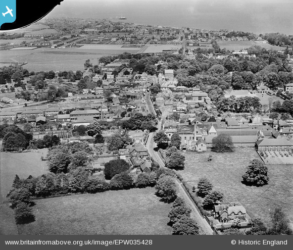
EPW035428 ENGLAND (1931). Dover Road, the Walmer Brewery and the town, Walmer, 1931. This image has been produced from a damaged negative.
© Copyright OpenStreetMap contributors and licensed by the OpenStreetMap Foundation. 2026. Cartography is licensed as CC BY-SA.
Nearby Images (4)
EPW035428

EPW035430

EPW000387

EPW035429

Details
| Title | [EPW035428] Dover Road, the Walmer Brewery and the town, Walmer, 1931. This image has been produced from a damaged negative. |
| Reference | EPW035428 |
| Date | May-1931 |
| Link | |
| Place name | WALMER |
| Parish | WALMER |
| District | |
| Country | ENGLAND |
| Easting / Northing | 636754, 149960 |
| Longitude / Latitude | 1.3893037638043, 51.199196092659 |
| National Grid Reference | TR368500 |
Pins

Stu Giles |
Wednesday 27th of June 2018 07:51:09 PM | |
|
Stu Giles |
Wednesday 27th of June 2018 06:21:06 PM |