
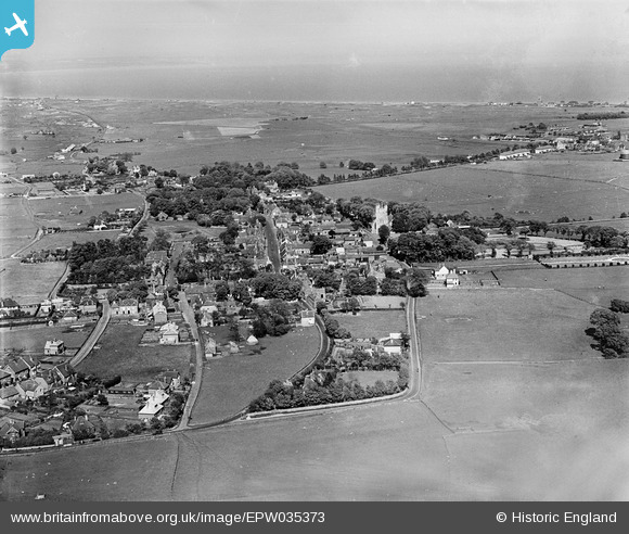
EPW035373 ENGLAND (1931). The town, New Romney, from the south-west, 1931
© Copyright OpenStreetMap contributors and licensed by the OpenStreetMap Foundation. 2026. Cartography is licensed as CC BY-SA.
Nearby Images (3)
EPW035373

EPW035375

EPW035374

Details
| Title | [EPW035373] The town, New Romney, from the south-west, 1931 |
| Reference | EPW035373 |
| Date | 25-May-1931 |
| Link | |
| Place name | NEW ROMNEY |
| Parish | NEW ROMNEY |
| District | |
| Country | ENGLAND |
| Easting / Northing | 606182, 124645 |
| Longitude / Latitude | 0.93785604925828, 50.983688650386 |
| National Grid Reference | TR062246 |
Pins

John W |
Thursday 8th of September 2016 08:28:03 PM | |
|
Mike Floate |
Sunday 3rd of August 2014 04:43:05 PM |