
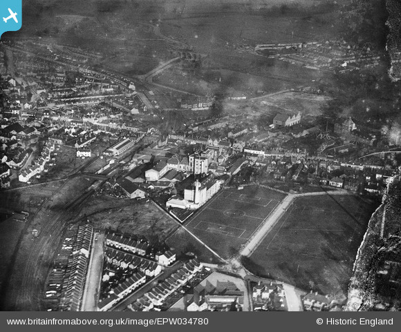
EPW034780 ENGLAND (1931). Benskins Brewery and environs, Watford, 1931
© Copyright OpenStreetMap contributors and licensed by the OpenStreetMap Foundation. 2026. Cartography is licensed as CC BY-SA.
Nearby Images (23)
EPW034780

EPW035168

EPW034810

EPW034781

EPW034807

EPW034779

EPW034808

EAW002186

EPW034811

EPW034812

EPW034814

EAW026503

EPW034809

EPW035164

EPW035166

EPW035129

EPW035167

EPW035165

EAW026504

EPW035163

EAW022727

EPW034813

EAW002185

Details
| Title | [EPW034780] Benskins Brewery and environs, Watford, 1931 |
| Reference | EPW034780 |
| Date | January-1931 |
| Link | |
| Place name | WATFORD |
| Parish | |
| District | |
| Country | ENGLAND |
| Easting / Northing | 511325, 195991 |
| Longitude / Latitude | -0.39065421744181, 51.65120881332 |
| National Grid Reference | TQ113960 |
Pins
Be the first to add a comment to this image!