
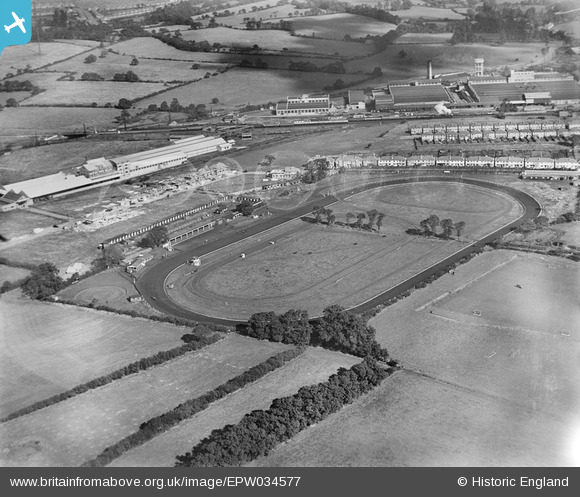
EPW034577 ENGLAND (1930). Greenford Trotting Track and environs, Greenford, 1930
© Copyright OpenStreetMap contributors and licensed by the OpenStreetMap Foundation. 2026. Cartography is licensed as CC BY-SA.
Nearby Images (12)
EPW034577

EPW023425

EPW034578

EPW023422

EPW023423

EPW023424

EPW034572

EPW034569

EPW034573

EPW034575

EPW034571

EPW034574

Details
| Title | [EPW034577] Greenford Trotting Track and environs, Greenford, 1930 |
| Reference | EPW034577 |
| Date | August-1930 |
| Link | |
| Place name | GREENFORD |
| Parish | |
| District | |
| Country | ENGLAND |
| Easting / Northing | 514167, 183778 |
| Longitude / Latitude | -0.35356265669531, 51.540860556151 |
| National Grid Reference | TQ142838 |
Pins
Be the first to add a comment to this image!