
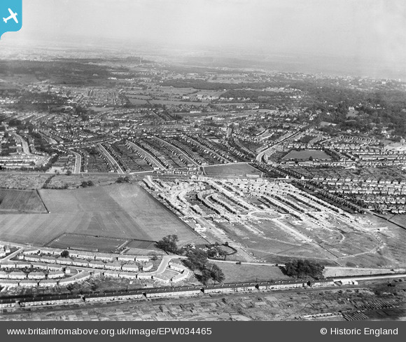
EPW034465 ENGLAND (1930). Housing under construction at Pennine Drive and environs, Golders Green, from the south-west, 1930
© Copyright OpenStreetMap contributors and licensed by the OpenStreetMap Foundation. 2026. Cartography is licensed as CC BY-SA.
Nearby Images (5)
EPW034465

EPW034464

EPW034470

EPW038718

EPW034462

Details
| Title | [EPW034465] Housing under construction at Pennine Drive and environs, Golders Green, from the south-west, 1930 |
| Reference | EPW034465 |
| Date | August-1930 |
| Link | |
| Place name | GOLDERS GREEN |
| Parish | |
| District | |
| Country | ENGLAND |
| Easting / Northing | 523761, 186855 |
| Longitude / Latitude | -0.21419113058134, 51.566494317614 |
| National Grid Reference | TQ238869 |
Pins

Kevin McCarthy |
Friday 16th of August 2019 07:17:26 PM | |
|
SB83 |
Monday 10th of February 2014 06:48:11 PM | |
|
SB83 |
Monday 10th of February 2014 06:20:06 PM | |
|
SB83 |
Monday 10th of February 2014 06:19:51 PM | |
|
SB83 |
Monday 10th of February 2014 06:19:20 PM | |
|
SB83 |
Monday 10th of February 2014 06:19:00 PM |