
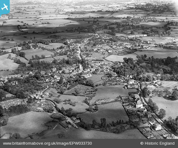
EPW033730 ENGLAND (1930). The town, Gillingham, from the north-west, 1930
© Copyright OpenStreetMap contributors and licensed by the OpenStreetMap Foundation. 2026. Cartography is licensed as CC BY-SA.
Nearby Images (2)
EPW033730

EPW023220

Details
| Title | [EPW033730] The town, Gillingham, from the north-west, 1930 |
| Reference | EPW033730 |
| Date | July-1930 |
| Link | |
| Place name | GILLINGHAM |
| Parish | GILLINGHAM |
| District | |
| Country | ENGLAND |
| Easting / Northing | 380332, 126706 |
| Longitude / Latitude | -2.2805537221873, 51.038837457875 |
| National Grid Reference | ST803267 |
Pins

Jaz |
Saturday 18th of May 2013 10:02:32 PM | |
|
Jaz |
Saturday 18th of May 2013 10:01:05 PM | |
|
Jaz |
Saturday 18th of May 2013 09:59:32 PM | |
|
Jaz |
Saturday 18th of May 2013 09:58:20 PM | |
|
Jaz |
Saturday 18th of May 2013 09:57:42 PM | |
|
Jaz |
Saturday 18th of May 2013 09:56:41 PM | |
|
Jaz |
Saturday 18th of May 2013 09:55:54 PM | |
|
Jaz |
Saturday 18th of May 2013 09:55:17 PM | |
|
Jaz |
Saturday 18th of May 2013 09:54:24 PM |