
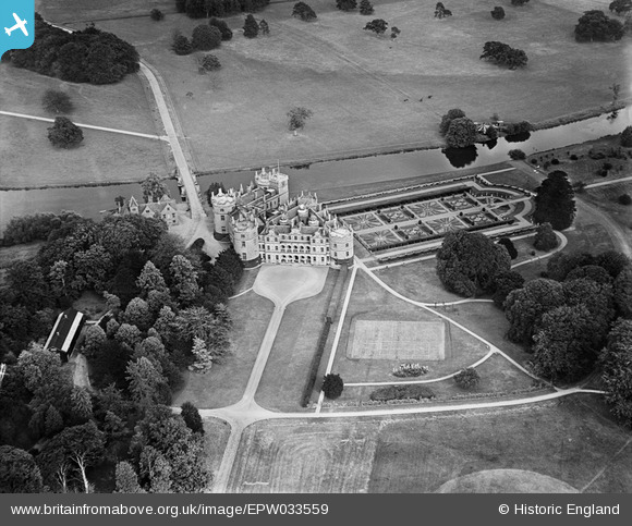
EPW033559 ENGLAND (1930). Longford Castle, Bodenham, 1930
© Copyright OpenStreetMap contributors and licensed by the OpenStreetMap Foundation. 2026. Cartography is licensed as CC BY-SA.
Nearby Images (8)
EPW033559

EAW025823

EPW033558

EPW033556

EPW033557

EAW025824

EAW025825

EAW025822

Details
| Title | [EPW033559] Longford Castle, Bodenham, 1930 |
| Reference | EPW033559 |
| Date | July-1930 |
| Link | |
| Place name | BODENHAM |
| Parish | ODSTOCK |
| District | |
| Country | ENGLAND |
| Easting / Northing | 417115, 126667 |
| Longitude / Latitude | -1.7558649490066, 51.038568469641 |
| National Grid Reference | SU171267 |
Pins
Be the first to add a comment to this image!