
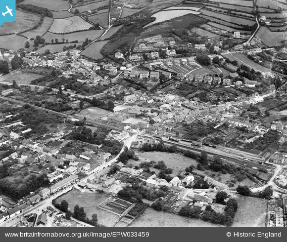
EPW033459 ENGLAND (1930). The village centre, Braunton, 1930
© Copyright OpenStreetMap contributors and licensed by the OpenStreetMap Foundation. 2026. Cartography is licensed as CC BY-SA.
Nearby Images (5)
EPW033459

EPW033455

EPW033454

EPW033456

EPW033457

Details
| Title | [EPW033459] The village centre, Braunton, 1930 |
| Reference | EPW033459 |
| Date | July-1930 |
| Link | |
| Place name | BRAUNTON |
| Parish | BRAUNTON |
| District | |
| Country | ENGLAND |
| Easting / Northing | 248757, 136644 |
| Longitude / Latitude | -4.160753772179, 51.108581800968 |
| National Grid Reference | SS488366 |
Pins

twistedwheelnut |
Monday 28th of July 2014 07:35:36 PM | |
|
twistedwheelnut |
Monday 28th of July 2014 07:35:04 PM | |
|
twistedwheelnut |
Monday 28th of July 2014 07:34:41 PM | |
|
twistedwheelnut |
Monday 28th of July 2014 07:34:07 PM |