
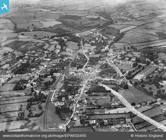
EPW033455 ENGLAND (1930). The village and surrounding countryside, Braunton, 1930
© Copyright OpenStreetMap contributors and licensed by the OpenStreetMap Foundation. 2026. Cartography is licensed as CC BY-SA.
Nearby Images (5)
EPW033455

EPW033459

EPW033454

EPW033456

EPW033457

Details
| Title | [EPW033455] The village and surrounding countryside, Braunton, 1930 |
| Reference | EPW033455 |
| Date | July-1930 |
| Link | |
| Place name | BRAUNTON |
| Parish | BRAUNTON |
| District | |
| Country | ENGLAND |
| Easting / Northing | 248768, 136730 |
| Longitude / Latitude | -4.1606327911404, 51.109357560827 |
| National Grid Reference | SS488367 |
Pins

Clare |
Tuesday 21st of March 2023 06:04:44 PM |