
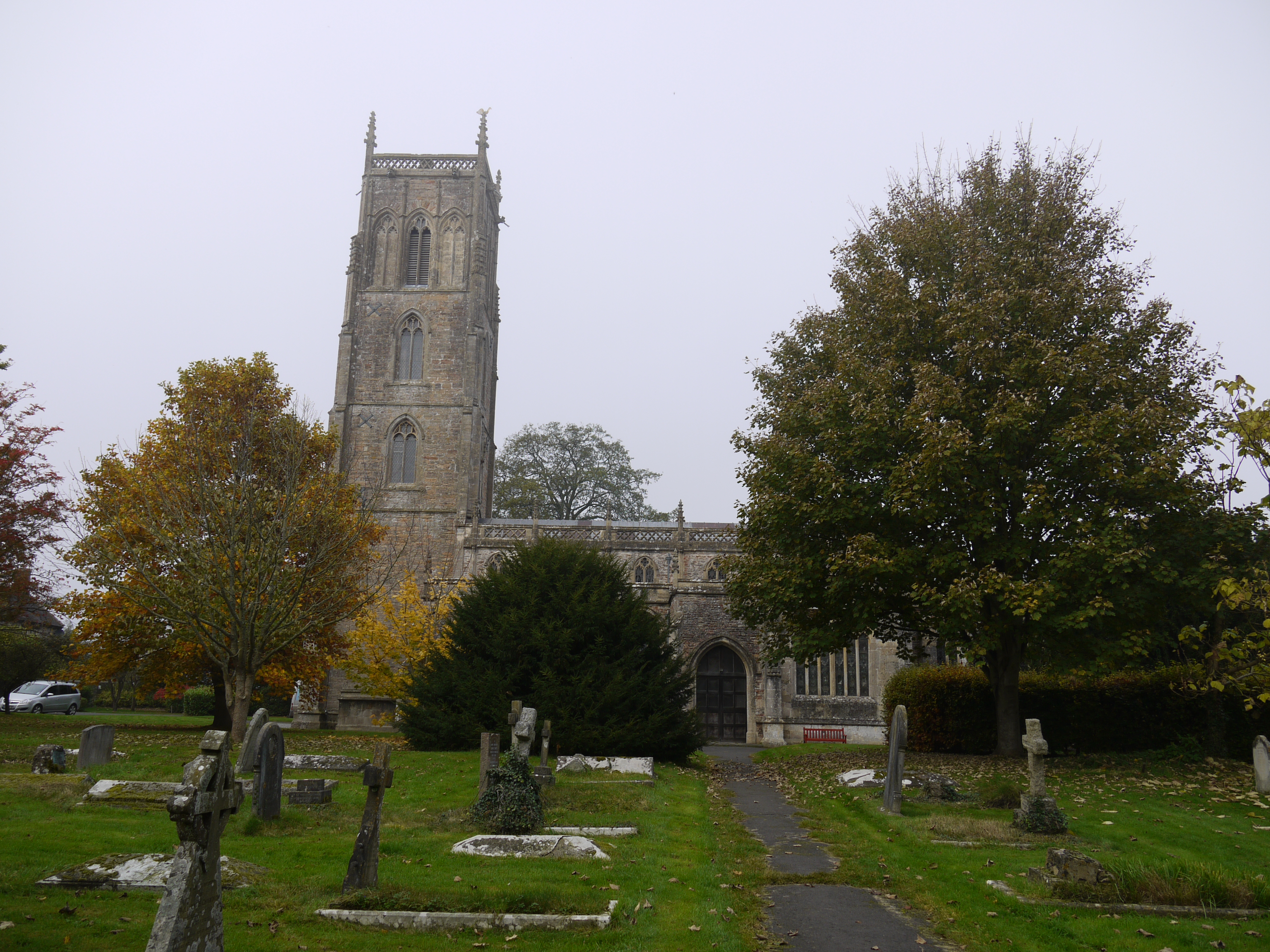
EPW033356 ENGLAND (1930). St Andrew's Church, the village and environs, Cheddar, 1930

© Copyright OpenStreetMap contributors and licensed by the OpenStreetMap Foundation. 2025. Cartography is licensed as CC BY-SA.
Nearby Images (2)
EPW033356

EPW033351

Details
| Title | [EPW033356] St Andrew's Church, the village and environs, Cheddar, 1930 |
| Reference | EPW033356 |
| Date | July-1930 |
| Link | |
| Place name | CHEDDAR |
| Parish | CHEDDAR |
| District | |
| Country | ENGLAND |
| Easting / Northing | 345946, 153139 |
| Longitude / Latitude | -2.7749914715973, 51.274322198244 |
| National Grid Reference | ST459531 |
Pins
Be the first to add a comment to this image!
User Comment Contributions
St. Andrew's Church, Cheddar, 02/11/2015 |

Class31 |
Wednesday 4th of November 2015 08:27:46 PM |