
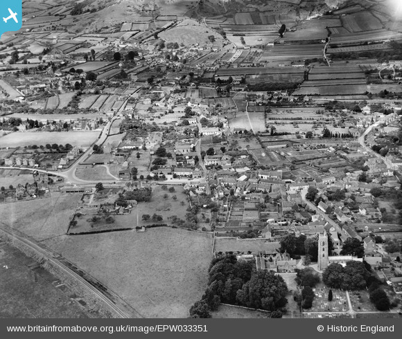
EPW033351 ENGLAND (1930). St Andrew's Church and the village, Cheddar, 1930
© Copyright OpenStreetMap contributors and licensed by the OpenStreetMap Foundation. 2025. Cartography is licensed as CC BY-SA.
Nearby Images (2)
EPW033351

EPW033356

Details
| Title | [EPW033351] St Andrew's Church and the village, Cheddar, 1930 |
| Reference | EPW033351 |
| Date | July-1930 |
| Link | |
| Place name | CHEDDAR |
| Parish | CHEDDAR |
| District | |
| Country | ENGLAND |
| Easting / Northing | 345793, 153312 |
| Longitude / Latitude | -2.7772111190136, 51.275863279267 |
| National Grid Reference | ST458533 |
Pins
Be the first to add a comment to this image!
User Comment Contributions
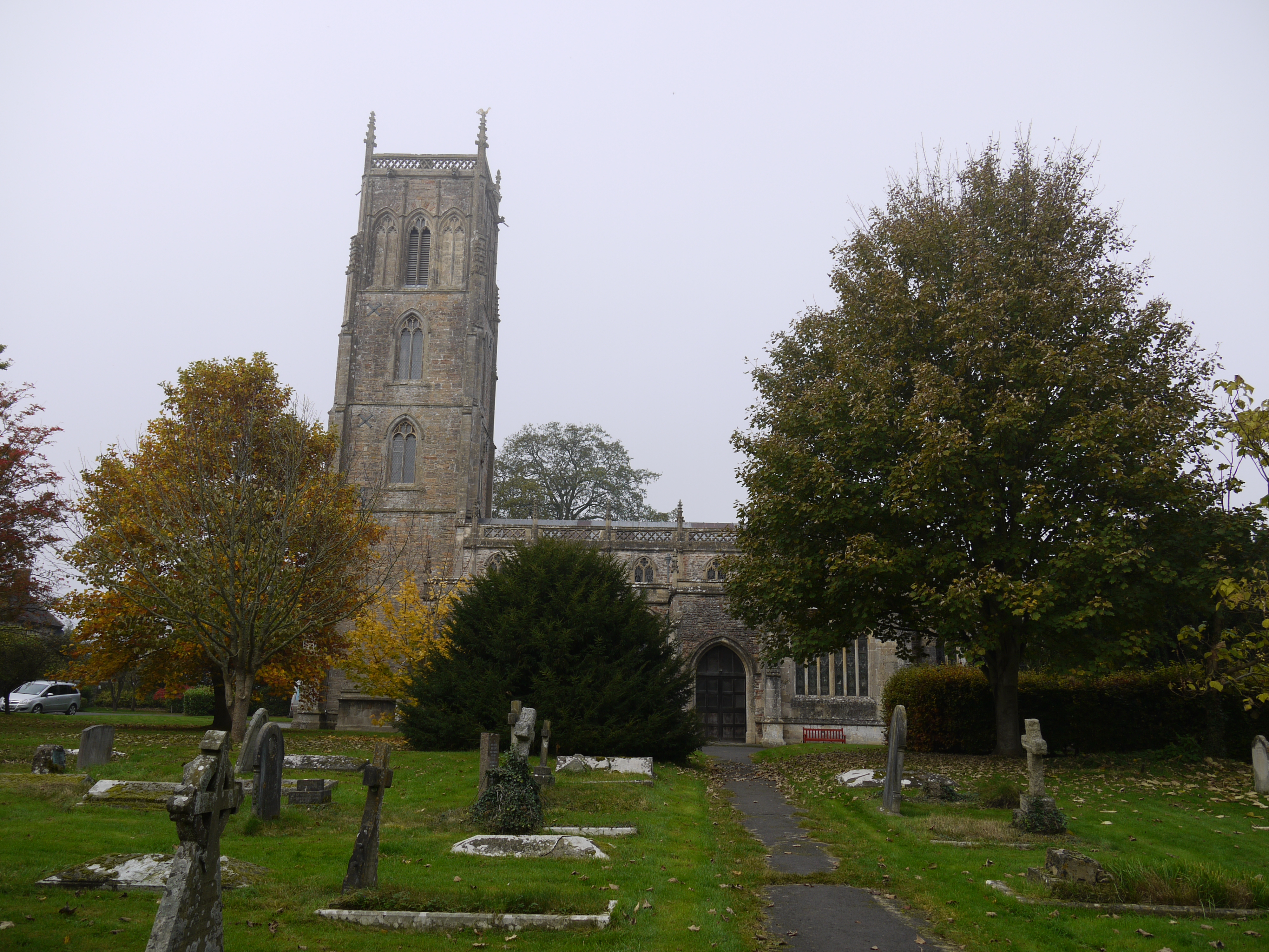
St. Andrew's Church, Cheddar, 02/11/2015 |

Class31 |
Wednesday 4th of November 2015 08:26:47 PM |