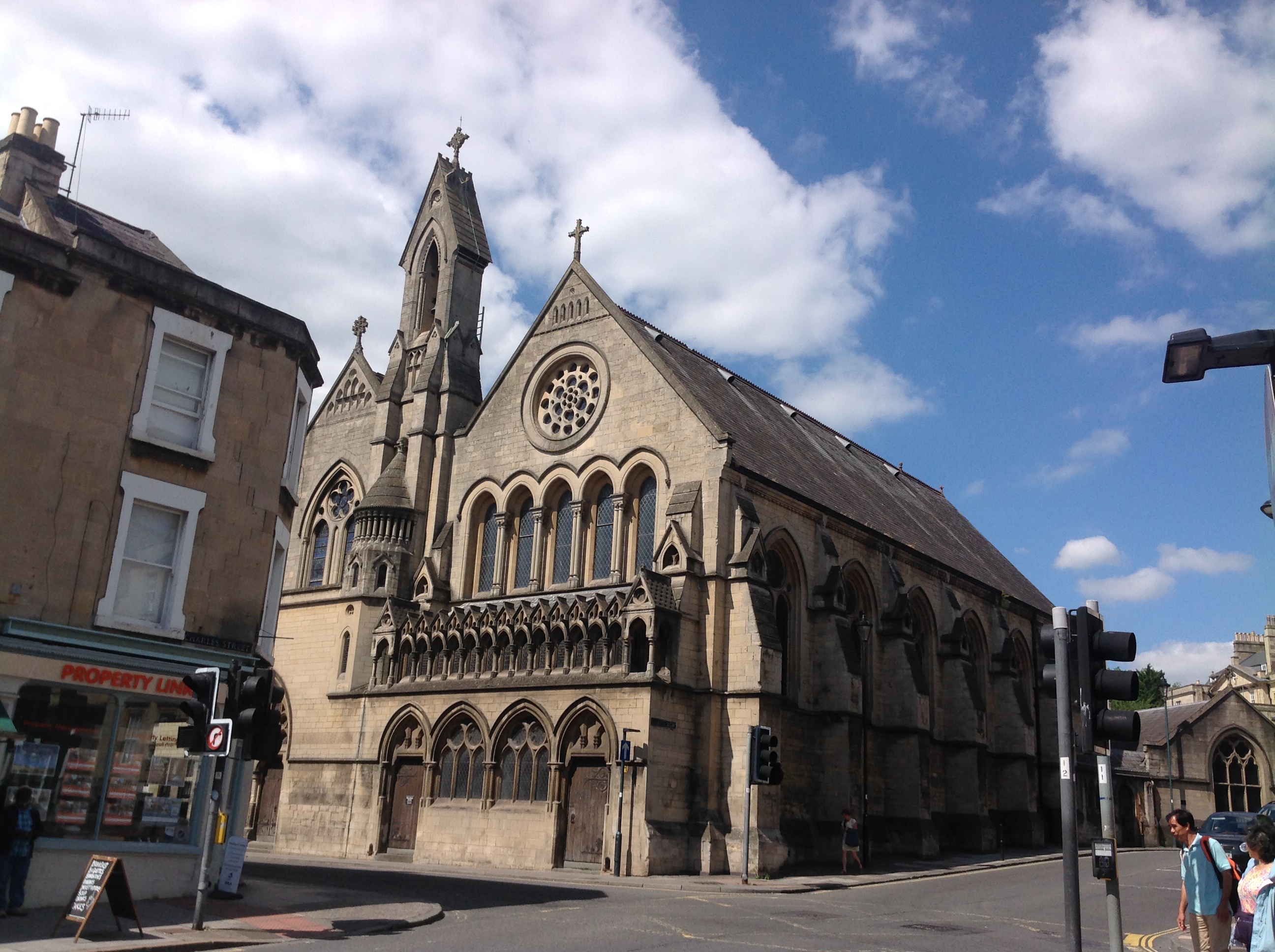
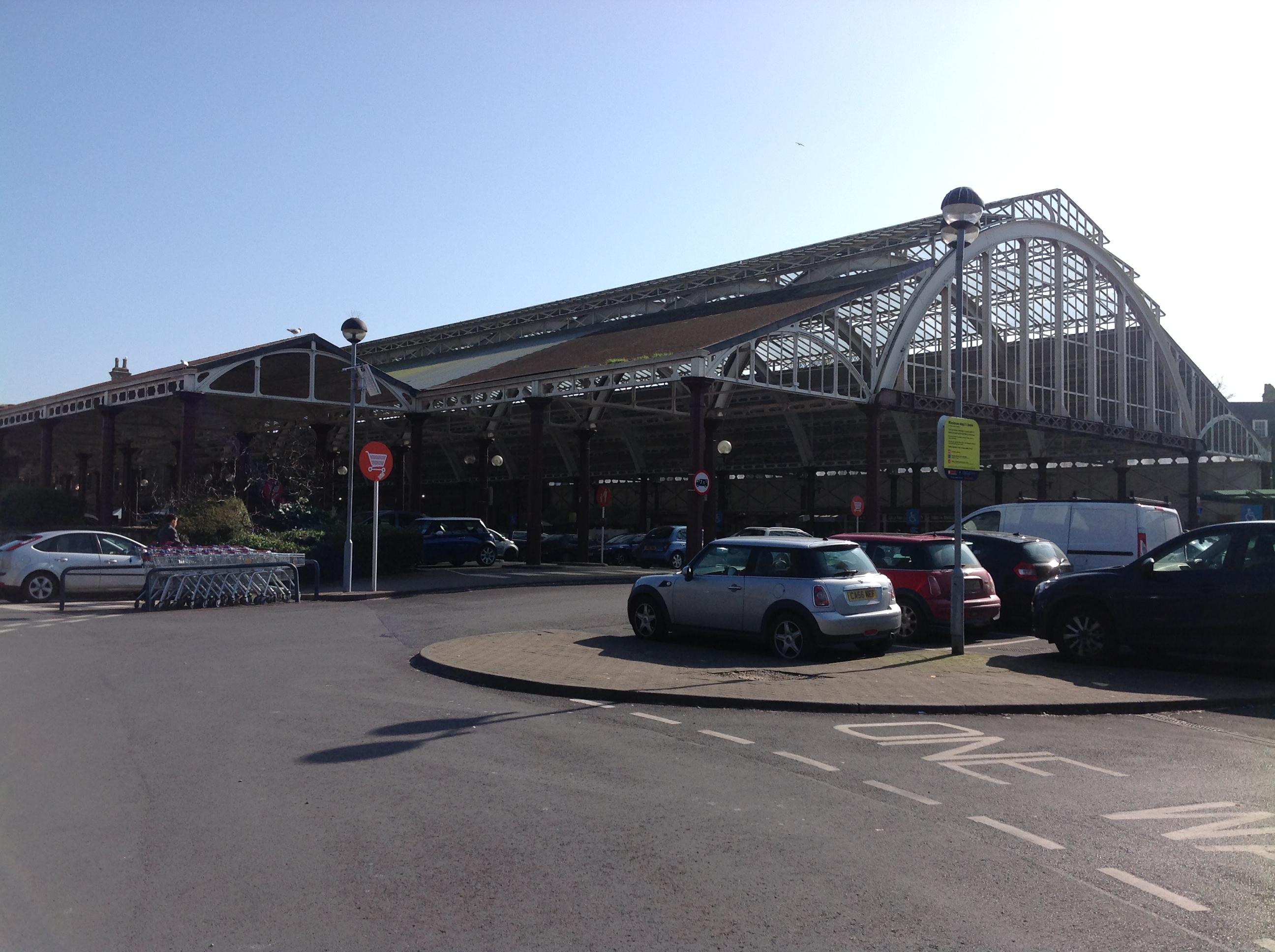
EPW033156 ENGLAND (1930). The city, Bath, 1930
    © Copyright OpenStreetMap contributors and licensed by the OpenStreetMap Foundation. 2025. Cartography is licensed as CC BY-SA.
  
Nearby Images (15)
Details
| Title | [EPW033156] The city, Bath, 1930 | 
| Reference | EPW033156 | 
| Date | July-1930 | 
| Link | |
| Place name | BATH | 
| Parish | |
| District | |
| Country | ENGLAND | 
| Easting / Northing | 374848, 164740 | 
| Longitude / Latitude | -2.3614462909352, 51.380654742362 | 
| National Grid Reference | ST748647 | 
Pins
|  Dog Street and Cat Street. Site of future Kingsmead Flats (West, North and East) |   Nick Cooper | Friday 2nd of September 2022 02:43:19 PM | 
| Class31 | Wednesday 16th of July 2014 08:57:55 PM | |
| Class31 | Wednesday 16th of July 2014 08:57:01 PM | |
| Class31 | Wednesday 16th of July 2014 08:55:50 PM | |
| Class31 | Wednesday 16th of July 2014 08:55:00 PM | |
| Class31 | Wednesday 16th of July 2014 08:54:10 PM | |
| Class31 | Wednesday 16th of July 2014 08:53:06 PM | |
|  Holy Trinity Church on James Street West.  Bombed in 1942 |   H Campbell | Saturday 11th of January 2014 11:16:47 PM | 
|  Moravian Chapel (later Church of Christ Scientist, now office space under the name of Queen Ann House) |   H Campbell | Saturday 11th of January 2014 11:10:13 PM | 
|  The Percy Chapel, Charlotte Street (now an Elim Pentecostal Church) |   H Campbell | Saturday 11th of January 2014 11:07:54 PM | 
|  Methodist Church in New King Street.  The original foundation stone was laid by John Wesley, commemorated by a small plaque on the 1960's Percy Community Centre building that now stands here |   H Campbell | Saturday 11th of January 2014 10:48:53 PM | 
|  St Paul's Church (now Holy Trinity Church, closed due to lack of funds for repairs to the electrical system) |   H Campbell | Saturday 11th of January 2014 10:38:33 PM | 
|  Green Park Station (Bath Queen Square) |   H Campbell | Saturday 11th of January 2014 10:34:10 PM | 
|  Newark Foundry |   H Campbell | Saturday 11th of January 2014 10:32:32 PM | 
|  Camden Mills |   H Campbell | Saturday 11th of January 2014 10:31:10 PM | 
|  Lower Bristol Road |   H Campbell | Saturday 11th of January 2014 09:48:31 PM | 
|  Old Bridge |   H Campbell | Saturday 11th of January 2014 09:46:55 PM | 
| Class31 | Monday 10th of June 2013 09:27:35 PM | |
|  St Andrews |   Dan | Thursday 7th of February 2013 10:43:40 PM | 
|  Manvers Street | Class31 | Monday 4th of February 2013 11:40:51 AM | 
|  St. Michael's Without Church | Class31 | Monday 4th of February 2013 11:39:04 AM | 
|  Milsom Street | Class31 | Monday 4th of February 2013 11:37:06 AM | 
|  St. James Parade | Class31 | Monday 4th of February 2013 11:34:40 AM | 
|  Royal Crescent | Class31 | Monday 4th of February 2013 11:30:54 AM | 
|  The Circus | Class31 | Monday 4th of February 2013 11:28:07 AM | 
 
             
  ![[EPW033156] The city, Bath, 1930](http://britainfromabove.org.uk/sites/all/libraries/aerofilms-images/public/100x100/EPW/033/EPW033156.jpg) 
  
                                          ![[EAW026456] The city centre, Bath, from the west, 1949](http://britainfromabove.org.uk/sites/all/libraries/aerofilms-images/public/100x100/EAW/026/EAW026456.jpg) 
 ![[EPR000129] Queen Square and the city centre, Bath, 1934](http://britainfromabove.org.uk/sites/all/libraries/aerofilms-images/public/100x100/EPR/000/EPR000129.jpg) 
 ![[EPR000130] Broad Quay and the city centre, Bath, 1934](http://britainfromabove.org.uk/sites/all/libraries/aerofilms-images/public/100x100/EPR/000/EPR000130.jpg) 
 ![[EAW026458] The city centre, Bath, from the south, 1949](http://britainfromabove.org.uk/sites/all/libraries/aerofilms-images/public/100x100/EAW/026/EAW026458.jpg) 
 ![[EPW001169] View over central Bath from Alexandra Park, Bath, 1920](http://britainfromabove.org.uk/sites/all/libraries/aerofilms-images/public/100x100/EPW/001/EPW001169.jpg) 
 ![[EPW048393] Gay Street and environs, Bath, from the south-east, 1935](http://britainfromabove.org.uk/sites/all/libraries/aerofilms-images/public/100x100/EPW/048/EPW048393.jpg) 
 ![[EAW000760] The Abbey Church of St Peter and St Paul and the surrounding city, Bath, 1946](http://britainfromabove.org.uk/sites/all/libraries/aerofilms-images/public/100x100/EAW/000/EAW000760.jpg) 
 ![[EPW001953] General view of the town centre, Bath, 1920](http://britainfromabove.org.uk/sites/all/libraries/aerofilms-images/public/100x100/EPW/001/EPW001953.jpg) 
 ![[EAW000761] The city, Bath, 1946](http://britainfromabove.org.uk/sites/all/libraries/aerofilms-images/public/100x100/EAW/000/EAW000761.jpg) 
 ![[EAW026457] The city centre, Bath, from the west, 1949](http://britainfromabove.org.uk/sites/all/libraries/aerofilms-images/public/100x100/EAW/026/EAW026457.jpg) 
 ![[EPW053141] The Abbey Church of St Peter and St Paul, the Roman Baths and the city centre, Bath, 1937](http://britainfromabove.org.uk/sites/all/libraries/aerofilms-images/public/100x100/EPW/053/EPW053141.jpg) 
 ![[EPW001951] Queen Square and environs, Bath, 1920](http://britainfromabove.org.uk/sites/all/libraries/aerofilms-images/public/100x100/EPW/001/EPW001951.jpg) 
 ![[EPW033153] The Abbey Church of St Peter and St Paul and the city, Bath, 1930](http://britainfromabove.org.uk/sites/all/libraries/aerofilms-images/public/100x100/EPW/033/EPW033153.jpg) 
 ![[EAW000747] The area around the Church of St James and New Orchard Street, Bath, 1946](http://britainfromabove.org.uk/sites/all/libraries/aerofilms-images/public/100x100/EAW/000/EAW000747.jpg) 
 