
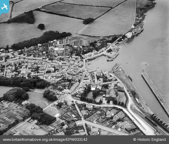
EPW033142 ENGLAND (1930). The harbour and town, Padstow, 1930
© Copyright OpenStreetMap contributors and licensed by the OpenStreetMap Foundation. 2026. Cartography is licensed as CC BY-SA.
Nearby Images (4)
EPW033142

EPW033141

EPW039764

EPW039766

Details
| Title | [EPW033142] The harbour and town, Padstow, 1930 |
| Reference | EPW033142 |
| Date | July-1930 |
| Link | |
| Place name | PADSTOW |
| Parish | PADSTOW |
| District | |
| Country | ENGLAND |
| Easting / Northing | 191906, 75413 |
| Longitude / Latitude | -4.937222875853, 50.540813459501 |
| National Grid Reference | SW919754 |
Pins

SteveW |
Tuesday 30th of December 2014 01:01:56 AM |