
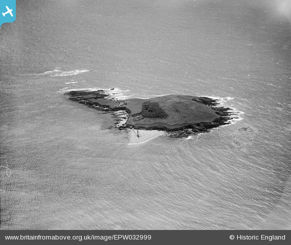
EPW032999 ENGLAND (1930). St George's or Looe Island, Looe, 1930
© Copyright OpenStreetMap contributors and licensed by the OpenStreetMap Foundation. 2026. Cartography is licensed as CC BY-SA.
Nearby Images (3)
EPW032999

EPW033000

EPW033001

Details
| Title | [EPW032999] St George's or Looe Island, Looe, 1930 |
| Reference | EPW032999 |
| Date | July-1930 |
| Link | |
| Place name | LOOE |
| Parish | LOOE |
| District | |
| Country | ENGLAND |
| Easting / Northing | 225793, 51523 |
| Longitude / Latitude | -4.4483186413252, 50.337219666749 |
| National Grid Reference | SX258515 |
Pins
Be the first to add a comment to this image!