
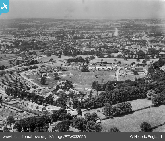
EPW032956 ENGLAND (1930). New housing at Parkside and environs, Mill Hill, from the south-east, 1930
© Copyright OpenStreetMap contributors and licensed by the OpenStreetMap Foundation. 2026. Cartography is licensed as CC BY-SA.
Nearby Images (15)
EPW032956

EPW032958

EPW062808

EPW032950

EPW032947

EPW032952

EPW032955

EPW032948

EPW032954

EPW032953

EPW062814

EPW062812

EPW032949

EPW062809

EPW062811

Details
| Title | [EPW032956] New housing at Parkside and environs, Mill Hill, from the south-east, 1930 |
| Reference | EPW032956 |
| Date | June-1930 |
| Link | |
| Place name | MILL HILL |
| Parish | |
| District | |
| Country | ENGLAND |
| Easting / Northing | 522406, 191469 |
| Longitude / Latitude | -0.23212370435417, 51.608261189775 |
| National Grid Reference | TQ224915 |
Pins
Be the first to add a comment to this image!