
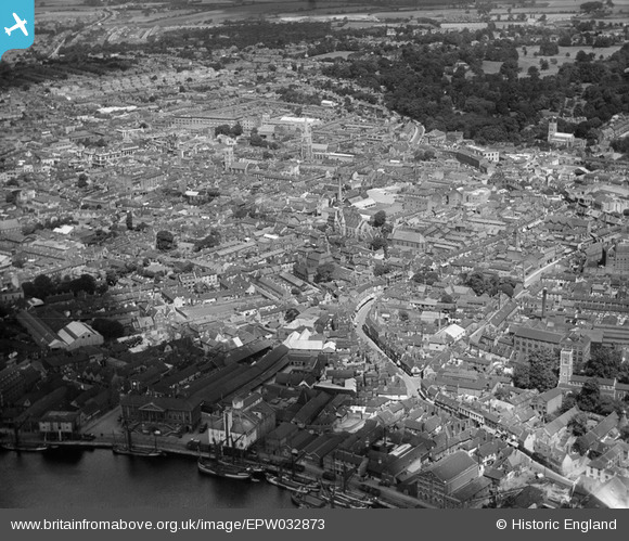
EPW032873 ENGLAND (1930). The town, Ipswich, from the south-east, 1930
© Copyright OpenStreetMap contributors and licensed by the OpenStreetMap Foundation. 2026. Cartography is licensed as CC BY-SA.
Nearby Images (5)
EPW032873

EPW049176

EPW032832

EPW058747

EPW032845

Details
| Title | [EPW032873] The town, Ipswich, from the south-east, 1930 |
| Reference | EPW032873 |
| Date | June-1930 |
| Link | |
| Place name | IPSWICH |
| Parish | |
| District | |
| Country | ENGLAND |
| Easting / Northing | 616692, 244158 |
| Longitude / Latitude | 1.1608733690302, 52.052949138946 |
| National Grid Reference | TM167442 |
Pins

PhilG |
Thursday 27th of April 2017 12:41:17 AM | |
|
PhilG |
Thursday 27th of April 2017 12:35:24 AM | |
|
PhilG |
Thursday 27th of April 2017 12:34:20 AM | |
|
PhilG |
Thursday 27th of April 2017 12:32:25 AM | |
|
PhilG |
Thursday 27th of April 2017 12:26:33 AM | |
|
PhilG |
Thursday 27th of April 2017 12:20:09 AM | |
|
PhilG |
Thursday 27th of April 2017 12:17:37 AM | |
|
PhilG |
Thursday 27th of April 2017 12:16:30 AM |