
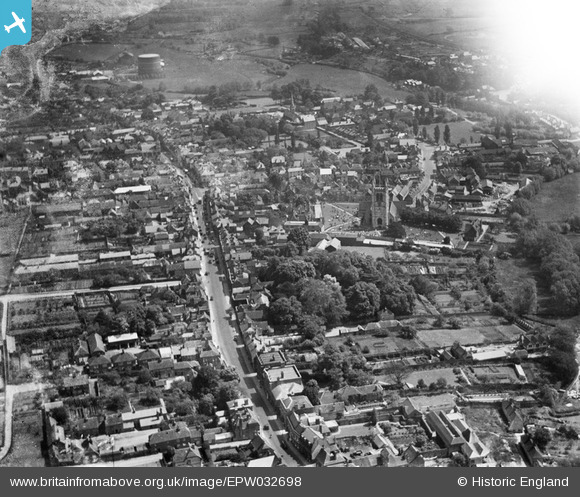
EPW032698 ENGLAND (1930). The town centre, Farnham, 1930
© Copyright OpenStreetMap contributors and licensed by the OpenStreetMap Foundation. 2026. Cartography is licensed as CC BY-SA.
Nearby Images (4)
EPW032698

EPW032700

EPW056808

EPW032697

Details
| Title | [EPW032698] The town centre, Farnham, 1930 |
| Reference | EPW032698 |
| Date | June-1930 |
| Link | |
| Place name | FARNHAM |
| Parish | FARNHAM |
| District | |
| Country | ENGLAND |
| Easting / Northing | 483787, 146721 |
| Longitude / Latitude | -0.80030081149976, 51.213021249329 |
| National Grid Reference | SU838467 |
Pins
Be the first to add a comment to this image!