
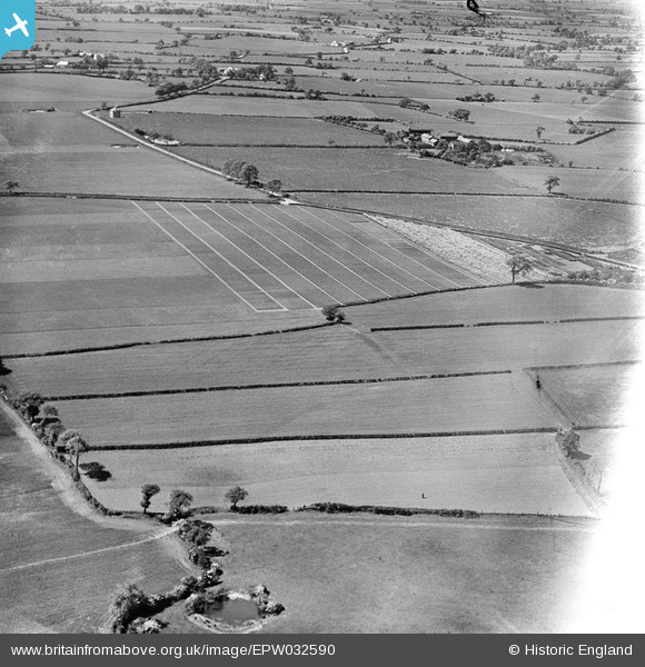
EPW032590 ENGLAND (1930). Trial plots and cultivated fields around Ash House Lane, Little Leigh, from the south-east, 1930. This image has been affected by flare.
© Copyright OpenStreetMap contributors and licensed by the OpenStreetMap Foundation. 2026. Cartography is licensed as CC BY-SA.
Nearby Images (13)
EPW032590

EPW032580

EPW032583

EPW032587

EPW032584

EAW030023

EPW057552

EAW001902

EPW032591

EAW001900

EAW001899

EAW030041

EAW001903

Details
| Title | [EPW032590] Trial plots and cultivated fields around Ash House Lane, Little Leigh, from the south-east, 1930. This image has been affected by flare. |
| Reference | EPW032590 |
| Date | June-1930 |
| Link | |
| Place name | LITTLE LEIGH |
| Parish | LITTLE LEIGH |
| District | |
| Country | ENGLAND |
| Easting / Northing | 361678, 377045 |
| Longitude / Latitude | -2.5749297113449, 53.288709531785 |
| National Grid Reference | SJ617770 |
Pins

Dylan Moore |
Sunday 3rd of March 2013 05:42:52 PM | |
|
Dylan Moore |
Sunday 3rd of March 2013 05:42:09 PM | |

Class31 |
Thursday 28th of February 2013 08:05:30 PM | |
|
Class31 |
Thursday 28th of February 2013 08:04:15 PM | |
|
Class31 |
Thursday 28th of February 2013 08:03:20 PM | |
|
Class31 |
Thursday 28th of February 2013 07:59:22 PM | |
|
Class31 |
Thursday 28th of February 2013 07:58:31 PM | |
|
Dylan Moore |
Thursday 28th of February 2013 07:11:27 PM | |
|
Dylan Moore |
Thursday 28th of February 2013 07:10:42 PM | |
Hi Dylan, You've done a great job on this group of images around Clatterwick, thank you for spending the time on them. We'll update the catalogue and post your new data here in due course. Yours, Katy Britain from Above Cataloguing Team Leader |
Katy Whitaker |
Thursday 7th of March 2013 05:05:06 PM |
User Comment Contributions
same place as EPW032586 |

TomRobin |
Tuesday 1st of January 2013 06:26:19 PM |