
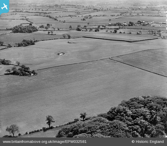
EPW032581 ENGLAND (1930). Fields between Merryfall Wood and Crumleigh Heath Farm, Little Leigh, from the north, 1930
© Copyright OpenStreetMap contributors and licensed by the OpenStreetMap Foundation. 2026. Cartography is licensed as CC BY-SA.
Nearby Images (16)
EPW032581

EPW021599

EAW001895

EPW021606

EPW057556

EAW001898

EAW001897

EAW001894

EAW001893

EPW021605

EPW057557

EAW001896

EPW057554

EAW001892

EPW057558

EPW057559

Details
| Title | [EPW032581] Fields between Merryfall Wood and Crumleigh Heath Farm, Little Leigh, from the north, 1930 |
| Reference | EPW032581 |
| Date | June-1930 |
| Link | |
| Place name | LITTLE LEIGH |
| Parish | LITTLE LEIGH |
| District | |
| Country | ENGLAND |
| Easting / Northing | 362306, 377836 |
| Longitude / Latitude | -2.5656024988027, 53.295865138394 |
| National Grid Reference | SJ623778 |
Pins

Class31 |
Thursday 28th of February 2013 08:46:06 PM | |
|
Class31 |
Thursday 28th of February 2013 08:45:20 PM | |

Dylan Moore |
Thursday 28th of February 2013 07:30:07 PM | |
Great spot Dylan! We'll update the catalogue and post your new data here in due course. Thank you for spending the time on the image. Yours, Katy Britain from Above Cataloguing Team Leader |
Katy Whitaker |
Thursday 7th of March 2013 04:38:38 PM |

Rebecca |
Wednesday 9th of January 2013 02:21:07 PM | |
|
Rebecca |
Wednesday 9th of January 2013 02:19:17 PM | |
|
Rebecca |
Wednesday 9th of January 2013 02:17:06 PM |