
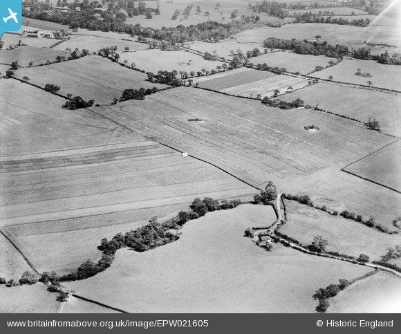
EPW021605 ENGLAND (1928). Farm land near Merryfall Wood, Little Leigh, 1928
© Copyright OpenStreetMap contributors and licensed by the OpenStreetMap Foundation. 2026. Cartography is licensed as CC BY-SA.
Nearby Images (18)
EPW021605

EPW021606

EPW021601

EPW057556

EPW021603

EPW021604

EPW057554

EPW021602

EPW057559

EPW057557

EPW021607

EAW001897

EPW057558

EAW001893

EAW001895

EAW001898

EPW021600

EPW032581

Details
| Title | [EPW021605] Farm land near Merryfall Wood, Little Leigh, 1928 |
| Reference | EPW021605 |
| Date | June-1928 |
| Link | |
| Place name | LITTLE LEIGH |
| Parish | LITTLE LEIGH |
| District | |
| Country | ENGLAND |
| Easting / Northing | 362239, 377602 |
| Longitude / Latitude | -2.566579951075, 53.293756863723 |
| National Grid Reference | SJ622776 |
Pins
Be the first to add a comment to this image!