
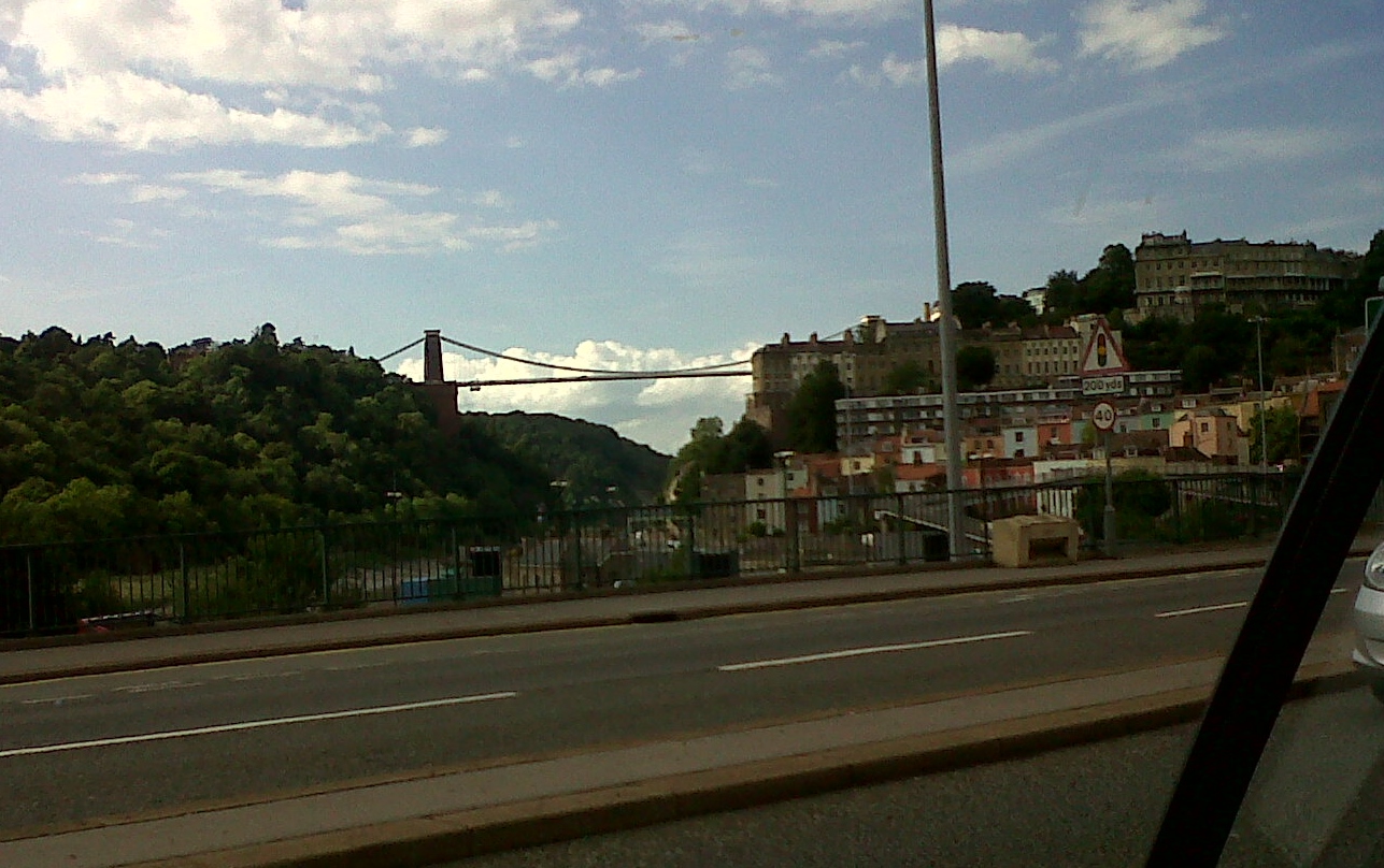
EPW032527 ENGLAND (1930). The Clifton Suspension Bridge, the River Avon and Clifton, Bristol, from the south, 1930

© Copyright OpenStreetMap contributors and licensed by the OpenStreetMap Foundation. 2026. Cartography is licensed as CC BY-SA.
Nearby Images (6)
EPW032527

EPW008827

EPW001268

EAW033318

EPW005463

EAW033317

Details
| Title | [EPW032527] The Clifton Suspension Bridge, the River Avon and Clifton, Bristol, from the south, 1930 |
| Reference | EPW032527 |
| Date | June-1930 |
| Link | |
| Place name | BRISTOL |
| Parish | |
| District | |
| Country | ENGLAND |
| Easting / Northing | 356754, 172587 |
| Longitude / Latitude | -2.6224102481429, 51.450125385353 |
| National Grid Reference | ST568726 |
Pins

MB |
Saturday 2nd of January 2021 07:58:15 PM | |
|
MB |
Saturday 2nd of January 2021 07:52:36 PM | |
|
JonB |
Tuesday 27th of August 2013 09:32:33 PM | |
|
pe175 |
Sunday 10th of February 2013 11:19:02 AM | |
|
kent2 |
Thursday 31st of January 2013 09:27:43 AM | |

Class31 |
Sunday 20th of January 2013 11:44:48 PM | |
|
Class31 |
Sunday 20th of January 2013 11:44:18 PM | |
|
Class31 |
Sunday 20th of January 2013 11:43:03 PM | |
|
Class31 |
Sunday 20th of January 2013 11:42:35 PM | |
|
Class31 |
Sunday 20th of January 2013 11:41:47 PM | |
|
Class31 |
Sunday 20th of January 2013 11:41:01 PM | |
|
Class31 |
Sunday 20th of January 2013 11:40:26 PM | |
|
Class31 |
Sunday 20th of January 2013 11:39:42 PM |
User Comment Contributions
Clifton Suspension Bridge 06/08/2013 |
Class31 |
Friday 2nd of May 2014 11:12:31 AM |