
EPW008827 ENGLAND (1923). The Clifton Suspension Bridge, Clifton, from the south-east, 1923

© Copyright OpenStreetMap contributors and licensed by the OpenStreetMap Foundation. 2026. Cartography is licensed as CC BY-SA.
Nearby Images (7)
EPW008827

EAW033318

EPW032527

EAW033317

EPW005463

EPW001268

EPW022273

Details
| Title | [EPW008827] The Clifton Suspension Bridge, Clifton, from the south-east, 1923 |
| Reference | EPW008827 |
| Date | 1923 |
| Link | |
| Place name | CLIFTON |
| Parish | |
| District | |
| Country | ENGLAND |
| Easting / Northing | 356708, 172678 |
| Longitude / Latitude | -2.6230833913883, 51.45094014587 |
| National Grid Reference | ST567727 |
Pins

Class31 |
Tuesday 1st of October 2013 09:52:45 AM |

User Comment Contributions
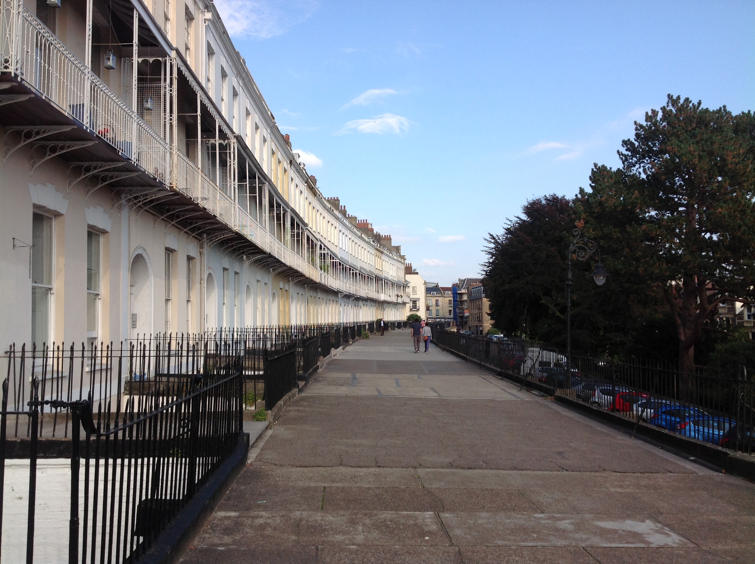
Royal York Crescent 29/09/2013 |
Class31 |
Tuesday 1st of October 2013 10:00:00 AM |
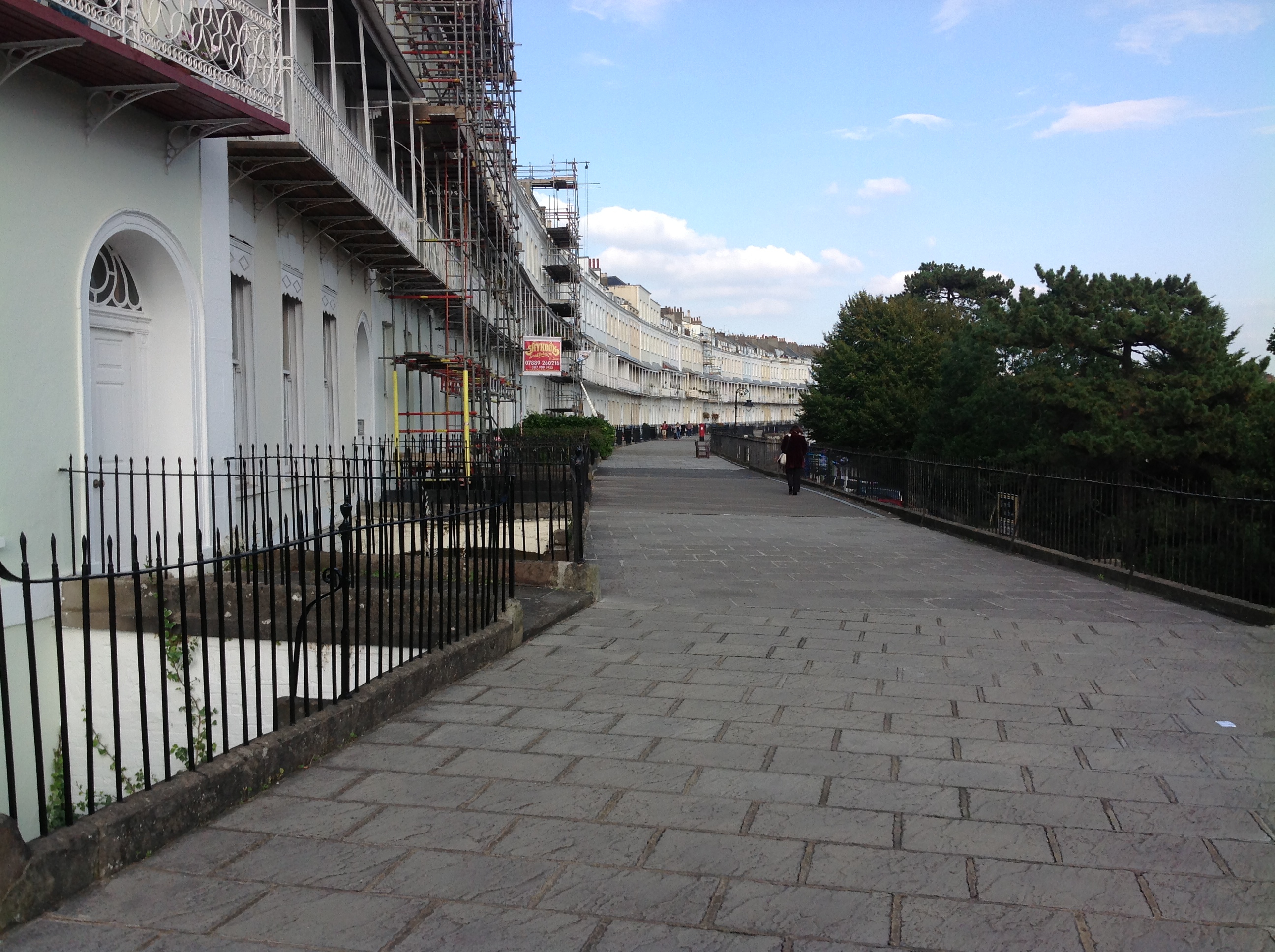
Royal York Crescent 29/09/2013 |
Class31 |
Tuesday 1st of October 2013 09:58:04 AM |
Detail Royal York Crescent 29/09/2013 |
Class31 |
Tuesday 1st of October 2013 09:56:22 AM |

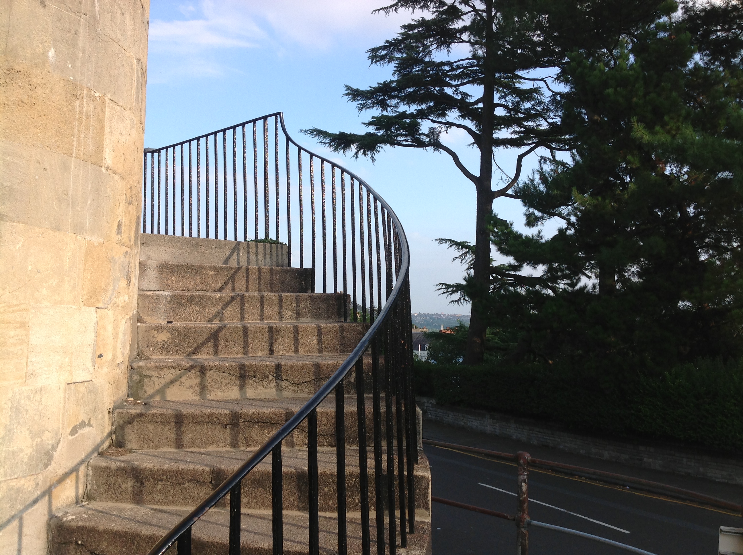
A tower looking north 29/09/2013 |
Class31 |
Tuesday 1st of October 2013 09:47:47 AM |