
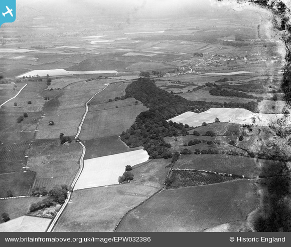
EPW032386 ENGLAND (1930). Sitterton Wood, Piddle Wood and surrounding countryside, Turners Puddle, from the west, 1930
© Copyright OpenStreetMap contributors and licensed by the OpenStreetMap Foundation. 2025. Cartography is licensed as CC BY-SA.
Nearby Images (2)
EPW032386

EPW032384

Details
| Title | [EPW032386] Sitterton Wood, Piddle Wood and surrounding countryside, Turners Puddle, from the west, 1930 |
| Reference | EPW032386 |
| Date | June-1930 |
| Link | |
| Place name | TURNERS PUDDLE |
| Parish | TURNERS PUDDLE |
| District | |
| Country | ENGLAND |
| Easting / Northing | 382298, 94658 |
| Longitude / Latitude | -2.2509563009971, 50.750682457514 |
| National Grid Reference | SY823947 |
Pins
Be the first to add a comment to this image!