
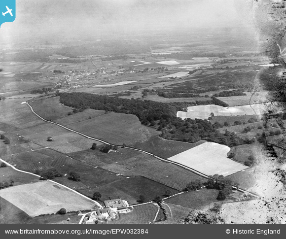
EPW032384 ENGLAND (1930). Sitterton Wood, Piddle Wood and surrounding countryside, Turners Puddle, from the north-west, 1930
© Copyright OpenStreetMap contributors and licensed by the OpenStreetMap Foundation. 2025. Cartography is licensed as CC BY-SA.
Nearby Images (2)
EPW032384

EPW032386

Details
| Title | [EPW032384] Sitterton Wood, Piddle Wood and surrounding countryside, Turners Puddle, from the north-west, 1930 |
| Reference | EPW032384 |
| Date | June-1930 |
| Link | |
| Place name | TURNERS PUDDLE |
| Parish | TURNERS PUDDLE |
| District | |
| Country | ENGLAND |
| Easting / Northing | 382387, 94892 |
| Longitude / Latitude | -2.2497057818483, 50.752789662116 |
| National Grid Reference | SY824949 |
Pins
Be the first to add a comment to this image!