
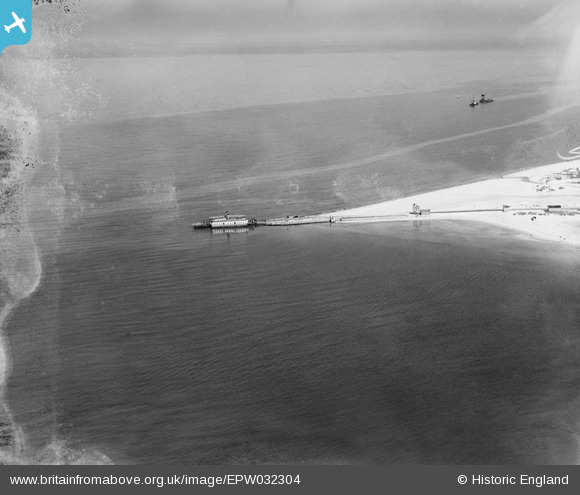
EPW032304 ENGLAND (1930). The Sandbanks Chain Ferry at South Haven Point, Studland, 1930
© Copyright OpenStreetMap contributors and licensed by the OpenStreetMap Foundation. 2026. Cartography is licensed as CC BY-SA.
Nearby Images (7)
EPW032304

EPW032300

EAW049051

EPW032297

EPW032299

EPW032303

EPW032296

Details
| Title | [EPW032304] The Sandbanks Chain Ferry at South Haven Point, Studland, 1930 |
| Reference | EPW032304 |
| Date | June-1930 |
| Link | |
| Place name | STUDLAND |
| Parish | STUDLAND |
| District | |
| Country | ENGLAND |
| Easting / Northing | 403619, 86728 |
| Longitude / Latitude | -1.9487719983693, 50.679621034309 |
| National Grid Reference | SZ036867 |
Pins

kevtees |
Tuesday 4th of March 2014 03:43:31 PM |
User Comment Contributions
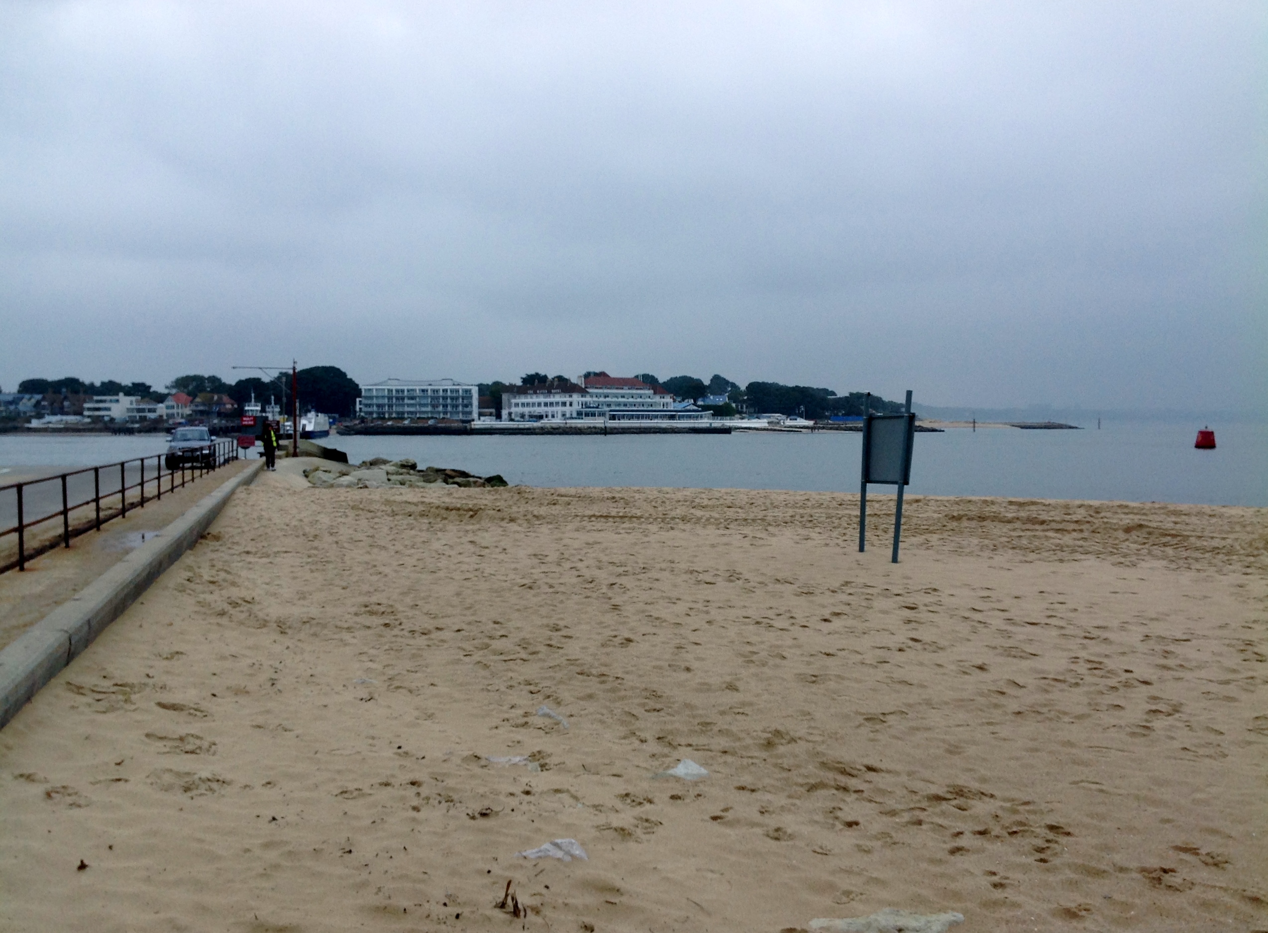
South Haven Point looking north east 30/01/2014 |

Class31 |
Friday 31st of January 2014 11:39:16 AM |