
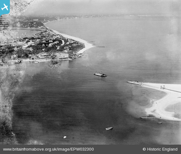
EPW032300 ENGLAND (1930). Poole Bay and the Sandbanks Chain Ferry operating between Sandbanks and Studland, Studland, from the west, 1930
© Copyright OpenStreetMap contributors and licensed by the OpenStreetMap Foundation. 2026. Cartography is licensed as CC BY-SA.
Nearby Images (8)
EPW032300

EPW032304

EPW032297

EAW049051

EPW032303

EPW032299

EPW032296

EAW010961

Details
| Title | [EPW032300] Poole Bay and the Sandbanks Chain Ferry operating between Sandbanks and Studland, Studland, from the west, 1930 |
| Reference | EPW032300 |
| Date | June-1930 |
| Link | |
| Place name | STUDLAND |
| Parish | STUDLAND |
| District | |
| Country | ENGLAND |
| Easting / Northing | 403525, 86760 |
| Longitude / Latitude | -1.9501022900915, 50.67990941205 |
| National Grid Reference | SZ035868 |
Pins

kevtees |
Tuesday 4th of March 2014 03:42:37 PM | |
|
micky |
Thursday 3rd of January 2013 07:11:28 PM | |
No the best beach is Shell Bay. |
Neil |
Sunday 30th of November 2014 10:39:01 PM |
Studland beach is best via fire point 6 |
Al C |
Monday 6th of February 2017 12:05:16 AM |

Class31 |
Monday 5th of November 2012 02:23:05 PM |

