
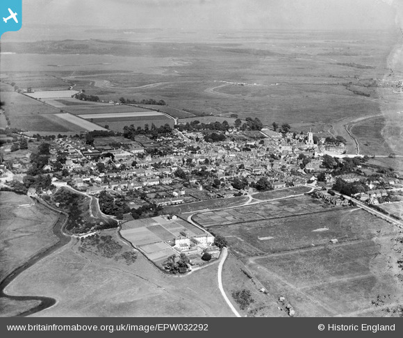
EPW032292 ENGLAND (1930). The Poor Law Institution, the town and surrounding countryside, Wareham, from the west, 1930
© Copyright OpenStreetMap contributors and licensed by the OpenStreetMap Foundation. 2026. Cartography is licensed as CC BY-SA.
Nearby Images (3)
EPW032292

EPW032291

EPW032293

Details
| Title | [EPW032292] The Poor Law Institution, the town and surrounding countryside, Wareham, from the west, 1930 |
| Reference | EPW032292 |
| Date | June-1930 |
| Link | |
| Place name | WAREHAM |
| Parish | WAREHAM TOWN |
| District | |
| Country | ENGLAND |
| Easting / Northing | 391862, 87455 |
| Longitude / Latitude | -2.1152116757001, 50.686113825651 |
| National Grid Reference | SY919875 |
Pins

micky |
Friday 26th of April 2013 07:10:35 PM | |

Dylan Moore |
Saturday 9th of March 2013 08:12:24 PM | |
|
Dylan Moore |
Saturday 9th of March 2013 08:11:50 PM | |
|
micky |
Monday 7th of January 2013 04:22:52 PM | |
|
micky |
Friday 4th of January 2013 01:41:59 PM | |
|
micky |
Thursday 3rd of January 2013 12:36:49 PM | |
|
micky |
Thursday 3rd of January 2013 12:36:13 PM | |
|
micky |
Thursday 3rd of January 2013 12:35:20 PM | |
|
micky |
Thursday 3rd of January 2013 12:34:48 PM | |
|
micky |
Thursday 3rd of January 2013 12:34:06 PM | |
|
micky |
Thursday 3rd of January 2013 12:33:00 PM | |
|
micky |
Thursday 3rd of January 2013 12:32:16 PM | |
|
micky |
Thursday 3rd of January 2013 12:31:48 PM |