
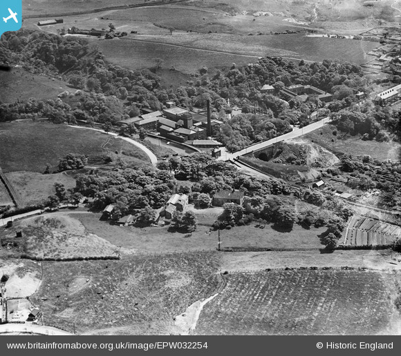
EPW032254 ENGLAND (1930). The Bardsley Vale Mills and Bardsley Bridge, Bardsley, 1930
© Copyright OpenStreetMap contributors and licensed by the OpenStreetMap Foundation. 2026. Cartography is licensed as CC BY-SA.
Nearby Images (12)
EPW032254

EPW032248

EPW032251

EPW032255

EPW032247

EPW032253

EPW032257

EPW032258

EPW032256

EPW032249

EAW004411

EAW004413

Details
| Title | [EPW032254] The Bardsley Vale Mills and Bardsley Bridge, Bardsley, 1930 |
| Reference | EPW032254 |
| Date | June-1930 |
| Link | |
| Place name | BARDSLEY |
| Parish | |
| District | |
| Country | ENGLAND |
| Easting / Northing | 392999, 401385 |
| Longitude / Latitude | -2.1055762174526, 53.508855756382 |
| National Grid Reference | SD930014 |
Pins

stonecoldaustin |
Sunday 10th of November 2019 11:14:53 PM | |
|
John T. Pitman |
Thursday 16th of October 2014 12:04:54 AM | |
|
eddief |
Monday 2nd of September 2013 02:56:10 PM | |
|
eddief |
Monday 2nd of September 2013 02:50:14 PM | |
|
eddief |
Monday 2nd of September 2013 02:49:48 PM | |
|
eddief |
Monday 2nd of September 2013 02:44:56 PM | |
|
eddief |
Monday 2nd of September 2013 02:40:52 PM | |
|
eddief |
Monday 2nd of September 2013 02:39:51 PM | |
|
eddief |
Monday 2nd of September 2013 02:15:49 PM | |
|
eddief |
Monday 2nd of September 2013 02:15:16 PM |