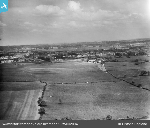
EPW032034 ENGLAND (1930). Stag Lane Aerodrome and environs, Little Stanmore, from the west, 1930
    © Copyright OpenStreetMap contributors and licensed by the OpenStreetMap Foundation. 2025. Cartography is licensed as CC BY-SA.
  
Nearby Images (10)
Details
| Title | [EPW032034] Stag Lane Aerodrome and environs, Little Stanmore, from the west, 1930 | 
| Reference | EPW032034 | 
| Date | May-1930 | 
| Link | |
| Place name | LITTLE STANMORE | 
| Parish | |
| District | |
| Country | ENGLAND | 
| Easting / Northing | 518847, 190018 | 
| Longitude / Latitude | -0.28399196947435, 51.59598176316 | 
| National Grid Reference | TQ188900 | 
Pins
|  Stag Lane | Class31 | Friday 16th of November 2012 06:58:58 PM | 
 
             
  ![[EPW032034] Stag Lane Aerodrome and environs, Little Stanmore, from the west, 1930](http://britainfromabove.org.uk/sites/all/libraries/aerofilms-images/public/100x100/EPW/032/EPW032034.jpg) 
  
                                          ![[EPW032033] Stag Lane Aerodrome and environs, Little Stanmore, from the west, 1930](http://britainfromabove.org.uk/sites/all/libraries/aerofilms-images/public/100x100/EPW/032/EPW032033.jpg) 
 ![[EPW025893] Edgware, Stag Lane Aerodrome, 1929](http://britainfromabove.org.uk/sites/all/libraries/aerofilms-images/public/100x100/EPW/025/EPW025893.jpg) 
 ![[EPW032032] Stag Lane Aerodrome and environs, Little Stanmore, from the south-west, 1930](http://britainfromabove.org.uk/sites/all/libraries/aerofilms-images/public/100x100/EPW/032/EPW032032.jpg) 
 ![[EPW032035] Stag Lane Aerodrome and environs, Little Stanmore, from the south-west, 1930](http://britainfromabove.org.uk/sites/all/libraries/aerofilms-images/public/100x100/EPW/032/EPW032035.jpg) 
 ![[EPW025690] Stag Lane Aerodrome, Little Stanmore, from the west, 1929](http://britainfromabove.org.uk/sites/all/libraries/aerofilms-images/public/100x100/EPW/025/EPW025690.jpg) 
 ![[EPW026593] The Stag Lane Aerodrome, Queensbury, from the west, 1929](http://britainfromabove.org.uk/sites/all/libraries/aerofilms-images/public/100x100/EPW/026/EPW026593.jpg) 
 ![[EPW034984] Housing development adjacent to Princes Avenue, Queensbury, from the north, 1931](http://britainfromabove.org.uk/sites/all/libraries/aerofilms-images/public/100x100/EPW/034/EPW034984.jpg) 
 ![[EPW034795] The Prince Edward Playing Fields, Canons Park and environs, Little Stanmore, from the south-east, 1931. This image has been produced from a damaged negative.](http://britainfromabove.org.uk/sites/all/libraries/aerofilms-images/public/100x100/EPW/034/EPW034795.jpg)