
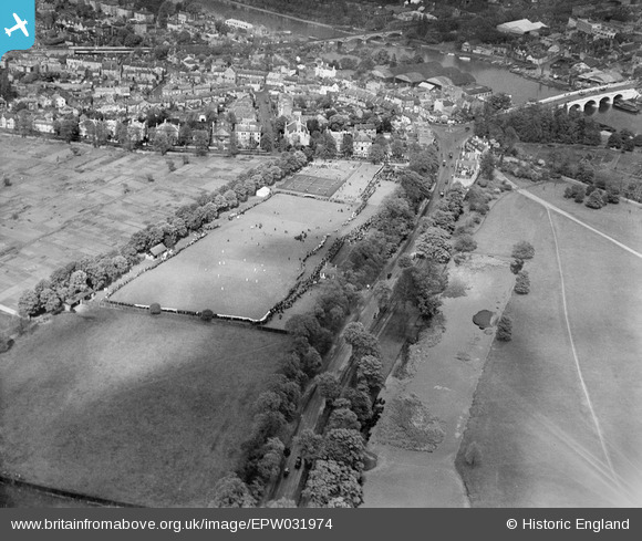
EPW031974 ENGLAND (1930). The King's Field Recreation Ground and environs, Hampton Wick, from the south-west, 1930
© Copyright OpenStreetMap contributors and licensed by the OpenStreetMap Foundation. 2026. Cartography is licensed as CC BY-SA.
Nearby Images (8)
EPW031974

EPW031971

EPW031970

EPW031969

EPW031976

EPW031973

EPW031975

EPW031972

Details
| Title | [EPW031974] The King's Field Recreation Ground and environs, Hampton Wick, from the south-west, 1930 |
| Reference | EPW031974 |
| Date | 12-May-1930 |
| Link | |
| Place name | HAMPTON WICK |
| Parish | |
| District | |
| Country | ENGLAND |
| Easting / Northing | 517223, 169244 |
| Longitude / Latitude | -0.31433487346388, 51.409593131076 |
| National Grid Reference | TQ172692 |
Pins

Dave |
Saturday 3rd of August 2013 02:19:59 PM |