
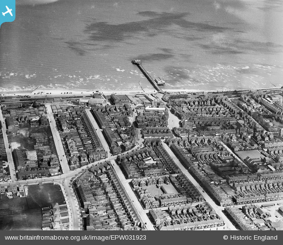
EPW031923 ENGLAND (1930). The town centre and the pier, Cleethorpes, 1930
© Copyright OpenStreetMap contributors and licensed by the OpenStreetMap Foundation. 2025. Cartography is licensed as CC BY-SA.
Nearby Images (3)
EPW031923

EPW031919

EPW031924

Details
| Title | [EPW031923] The town centre and the pier, Cleethorpes, 1930 |
| Reference | EPW031923 |
| Date | May-1930 |
| Link | |
| Place name | CLEETHORPES |
| Parish | |
| District | |
| Country | ENGLAND |
| Easting / Northing | 530499, 408912 |
| Longitude / Latitude | -0.029551776665955, 53.560334825928 |
| National Grid Reference | TA305089 |
Pins
 Ken.J |
Thursday 28th of August 2014 11:17:12 AM | |
aerialandy |
Friday 18th of July 2014 12:35:28 PM |
User Comment Contributions
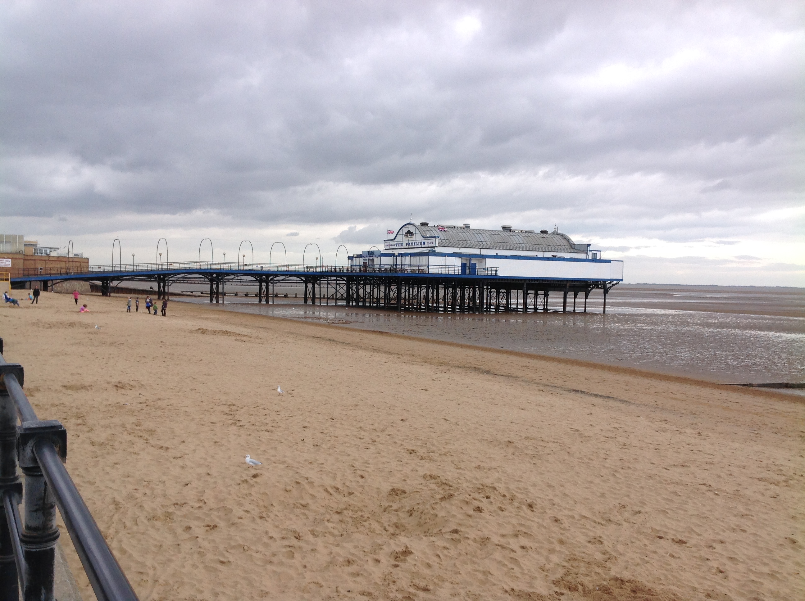 The Pier, Cleethorpes, 29/08/2014 |
 Class31 |
Wednesday 15th of October 2014 04:58:04 PM |