
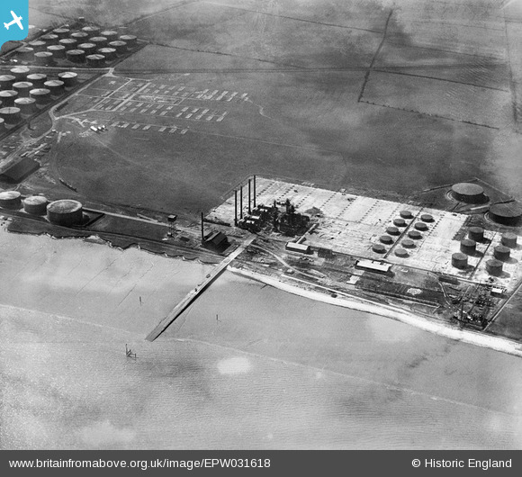
EPW031618 ENGLAND (1930). Petroleum Refineries, North Killingholme Haven, 1930
© Copyright OpenStreetMap contributors and licensed by the OpenStreetMap Foundation. 2026. Cartography is licensed as CC BY-SA.
Nearby Images (21)
EPW031618

EPW031794

EPW031793

EPW031612

EPW031617

EPW031610

EPW031614

EPW031616

EPW031791

EPW031615

EPW031789

EPW031620

EPW031613

EPW031786

EPW031609

EPW031611

EPW031787

EPW031790

EPW031792

EPW031788

EPW031619

Details
| Title | [EPW031618] Petroleum Refineries, North Killingholme Haven, 1930 |
| Reference | EPW031618 |
| Date | April-1930 |
| Link | |
| Place name | NORTH KILLINGHOLME HAVEN |
| Parish | NORTH KILLINGHOLME |
| District | |
| Country | ENGLAND |
| Easting / Northing | 516019, 420719 |
| Longitude / Latitude | -0.24367186277441, 53.669822618556 |
| National Grid Reference | TA160207 |
Pins

John Wass |
Wednesday 20th of May 2015 03:00:28 PM |