
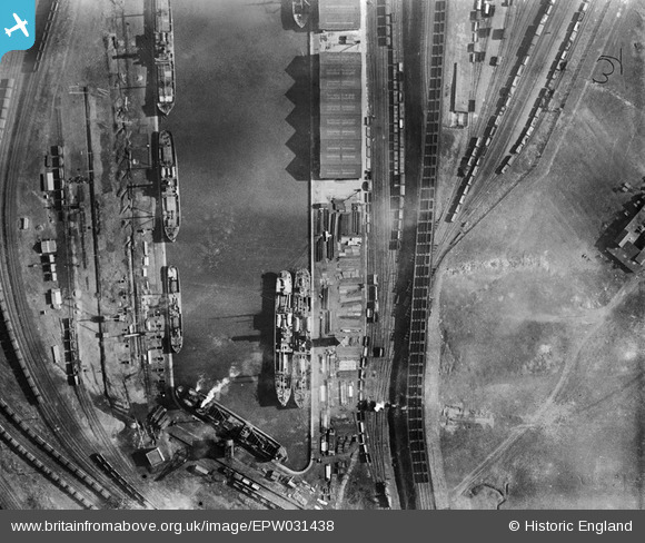
EPW031438 ENGLAND (1930). The West Dock, Goole, 1930
© Copyright OpenStreetMap contributors and licensed by the OpenStreetMap Foundation. 2026. Cartography is licensed as CC BY-SA.
Nearby Images (3)
EPW031438

EPW031437

EPW031439

Details
| Title | [EPW031438] The West Dock, Goole, 1930 |
| Reference | EPW031438 |
| Date | February-1930 |
| Link | |
| Place name | GOOLE |
| Parish | GOOLE |
| District | |
| Country | ENGLAND |
| Easting / Northing | 474134, 423264 |
| Longitude / Latitude | -0.87695855980209, 53.700315443904 |
| National Grid Reference | SE741233 |
Pins
Be the first to add a comment to this image!