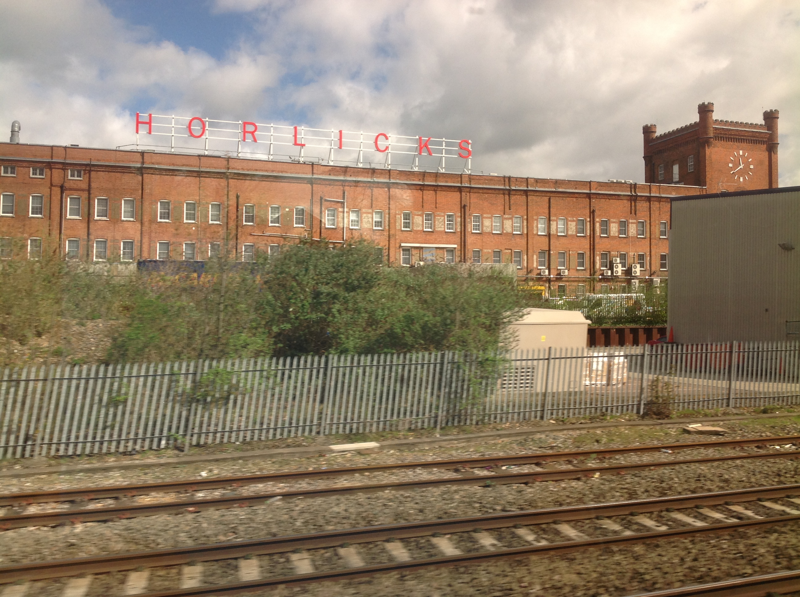
EPW031198 ENGLAND (1929). The Horlicks Malted Milk Factory and environs, Slough, 1929

© Copyright OpenStreetMap contributors and licensed by the OpenStreetMap Foundation. 2026. Cartography is licensed as CC BY-SA.
Nearby Images (27)
EPW031198

EPW021893

EPW021892

EPW008010

EPW031196

EPW031193

EPW031194

EPW021891

EPW031197

EPW031195

EPW021787

EPW021789

EPW031606

EPW021790

EPW021896

EPW031608

EPW021889

EPW031607

EPW021788

EPW021895

EPW031603

EPW021894

EPW021785

EPW021890

EPW021786

EPW051468

EPW021888

Details
| Title | [EPW031198] The Horlicks Malted Milk Factory and environs, Slough, 1929 |
| Reference | EPW031198 |
| Date | 21-November-1929 |
| Link | |
| Place name | SLOUGH |
| Parish | |
| District | |
| Country | ENGLAND |
| Easting / Northing | 497262, 180429 |
| Longitude / Latitude | -0.59819447424727, 51.513920996231 |
| National Grid Reference | SU973804 |
Pins

Class31 |
Wednesday 3rd of July 2013 09:08:18 PM | |
|
Class31 |
Wednesday 3rd of July 2013 07:57:50 PM | |
|
Class31 |
Wednesday 3rd of July 2013 07:08:23 PM | |
|
Class31 |
Wednesday 3rd of July 2013 06:48:13 PM | |

payitforwardeddie |
Wednesday 29th of May 2013 06:16:45 AM |