
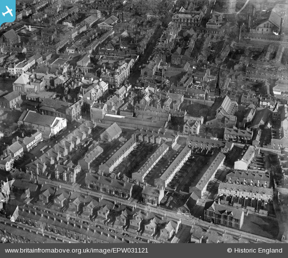
EPW031121 ENGLAND (1929). Cook Street and surroundings, Leigh, 1929
© Copyright OpenStreetMap contributors and licensed by the OpenStreetMap Foundation. 2026. Cartography is licensed as CC BY-SA.
Nearby Images (7)
EPW031121

EPW055097

EPW031120

EPW031118

EPW055092

EPW055093

EPW031122

Details
| Title | [EPW031121] Cook Street and surroundings, Leigh, 1929 |
| Reference | EPW031121 |
| Date | October-1929 |
| Link | |
| Place name | LEIGH |
| Parish | |
| District | |
| Country | ENGLAND |
| Easting / Northing | 365586, 400072 |
| Longitude / Latitude | -2.5188133843399, 53.495973343649 |
| National Grid Reference | SD656001 |
Pins
Be the first to add a comment to this image!